High pressure builds in tonight, bringing another calm and cool night across the region. Skies will clear with only a few passing high clouds, and winds will become light to calm.

CBS News Philadelphia
Temperatures drop into the 30s for most, with upper 20s possible in colder inland spots and low 40s along I-95 and the coast. Patchy frost is likely late tonight, especially across inland New Jersey and parts of Delaware, where a Frost Advisory is in effect for areas away from the immediate coast.

CBS News Philadelphia
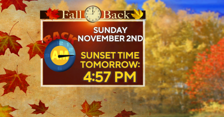
Sunday will be pleasant with a light southwest breeze and highs in the upper 50s to low 60s. Clouds increase Sunday night as a weak coastal low develops off the Mid-Atlantic.
That system may bring a few showers to southern New Jersey and Delaware on Monday, but nothing too heavy or severe. A cold front then crosses Monday night, followed by a return to sunny and seasonable weather Tuesday.

CBS News Philadelphia
The rest of the week looks mainly quiet and comfortable under high pressure, with only a brief chance of light showers Wednesday night as a weak disturbance moves through. Temperatures will stay near normal for early November, and another cold front may approach late Friday before drier, cooler air settles in for next weekend.
Here’s your 7-day forecast:

CBS News Philadelphia
Sunday: Pleasant. High 64, Low 42.
Monday: Few showers possible. High 62, Low 47.
Tuesday: Sunny. High 64, Low 46.
Wednesday: Partly cloudy. High 66, Low 45.
Thursday: Sunny skies. High 60, Low 46.
Friday: Partly cloudy. High 64, Low 38.
Saturday: Partly cloudy. High 67, Low 54.
More from CBS News