Just as Perth locals were preparing for another burst of summer heat, the Bureau of Meteorology says the next 24 hours could bring the possibility of a storm across parts of the metro area.
Residents are being urged to stay alert on Tuesday evening, with the BoM flagging a chance of thunderstorms as a surge of moisture pushes into the region..
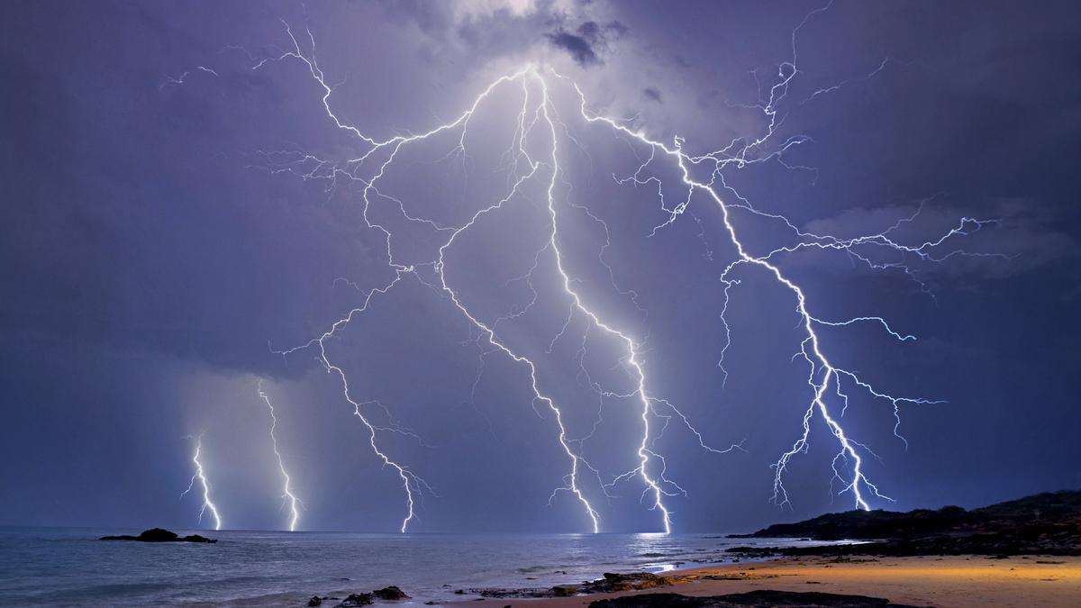
Meteorologists say a weak but increasingly unstable airmass is moving over the southwest.
While conditions aren’t expected to support a full-scale severe storm, isolated pop-up thunderstorms may still develop — particularly late this afternoon and into the early evening.
The main risks include localised heavy rainfall, which may cause minor flash flooding in low-lying or poorly drained areas, and gusty winds that could exceed normal afternoon sea-breeze strength.
A BoM spokesperson said Perth can expect some cooler conditions.
“Cloudy conditions with a slight chance of a shower, becoming less likely in the evening. There is a chance of a thunderstorm in the afternoon and early evening. Winds will be easterly at 15 to 25 km/h, shifting northeasterly in the morning before tending northeast to southeasterly early in the afternoon,” the spokesperson said.
Perth will see partly cloudy skies on Wednesday with a slight chance of a shower, most likely in the morning and afternoon.
Thunderstorms also remain a possibility on Wednesday. Winds are expected to be east to southeasterly 15 to 25 km/h, becoming southeast to southwesterly around midday before shifting east to southeasterly again in the evening.
PERTH FORECAST
Tuesday: Cloudy ☁️
Wednesday: Scatted thunderstorms ⛈️
Thursday: Partly sunny
Friday: Sunny ☀️
Saturday: Light rain 🌦️
Sunday: Sunny ☀️
Monday: Sunny ☀️