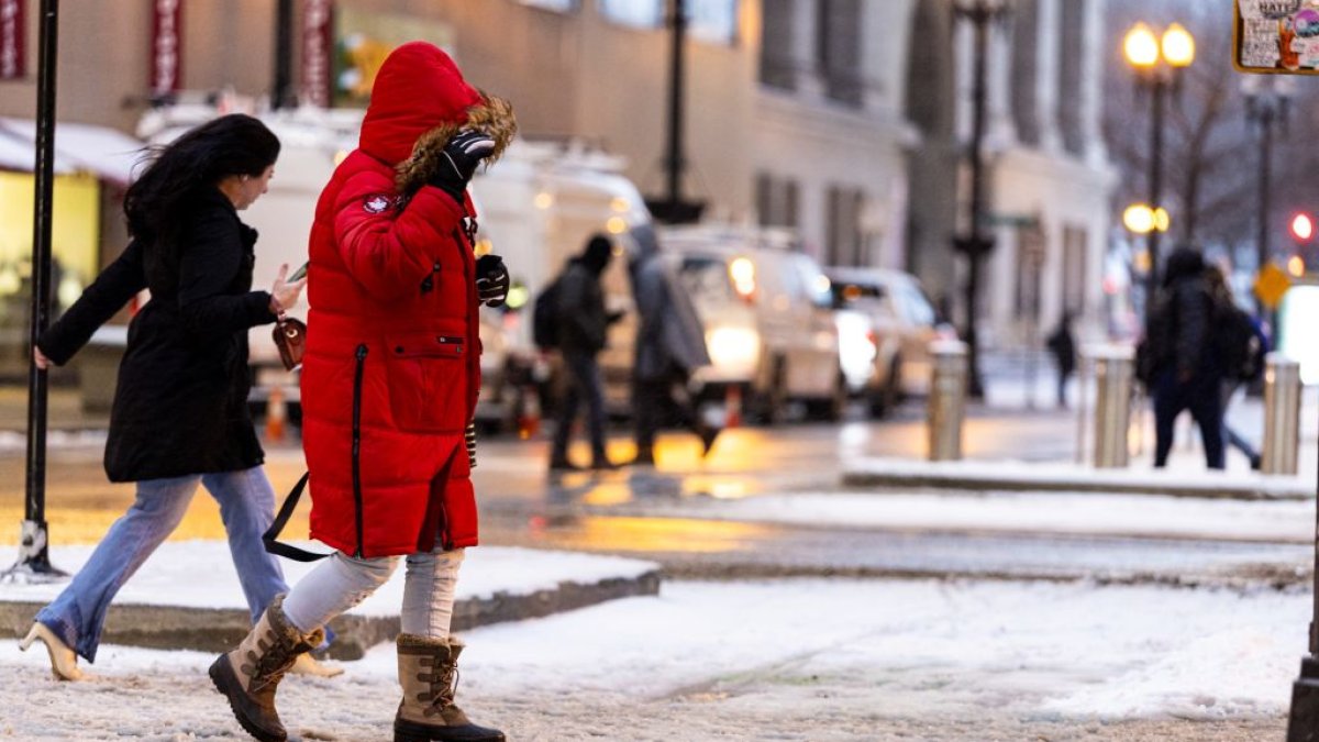
It’s looking more likely the Chicago area could see a blast of arctic air around and after Thanksgiving Day.
NBC 5 Storm Team Meteorologist Kevin Jeanes took a look at what’s going on and what the weather may look like going into December.
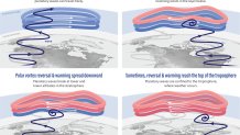
The potential for cold air is caused both by ridging in the jet stream in the Pacific Northwest and potentially something called a “Sudden Stratospheric Warming” (SSW) event.
An SSW is when large-scale waves in the atmosphere, called Rossby waves, get pushed higher into the atmosphere. This causes air to sink and warm rapidly around the polar vortex, which can dislodge and send the cold air southward into the mid latitudes, rather than staying bottled up near the North Pole.
The National Weather Service’s Climate Prediction Center reported Tuesday that “the combined effects from the current La Nina, the Madden-Julian Oscillation, and potential for a rare November Sudden Stratospheric Warming event may usher in a significant pattern change later in the month and into early December.”
The agency predicts a colder pattern is “likely” for the West and Northern and Central Plains, with much of the central and northern U.S. transitioning to a colder pattern by early December.
“This pattern change favors a transition to more winter-like conditions across the west-central and central U.S. including much below normal temperatures and the potential for heavy snow,” the forecast stated.
This is unusually early in a season for an SSW event to occur, so it’s important to understand that the polar vortex isn’t fully “set up” yet, making it more difficult to forecast models to pinpoint where the cold air will end up.
Also, while the cold blast is “arctic air”, the arctic isn’t as cold as it would be if this were to happen in January or February. So an early December cold blast may mean temperatures in the 20s, not below zero like those typically seen deeper into the winter season.
This type of setup may also mean some quick rebounds in temperatures. In other words, drastic temperature swings are possible over the next few weeks.
What about snow?
There’s always a chance of a snow storm as cold air plunges south, but we don’t know how far south or east the cold air will move just yet. Early signs are showing some moderate snow staying south of the Chicago area through the end of November, but there are signs we get one or two potent snow-producing storms in the first week or two of December.
The jet stream will dictate the track of the snow as we get closer.
So what will this all mean?
It’s expected to get much colder in the Chicago region around and after the Thanksgiving holiday. Snow chances look limited through November, but there will be bigger snow potential later in the first or second week of December.
The NBC 5 Storm Team will continue tracking the latest weather conditions. Check here for updates.