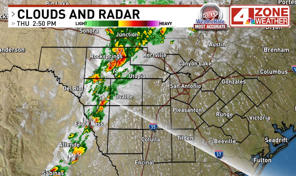
SAN ANTONIO – Scattered storms are impacting our western tier counties right now from Edwards, Real County south to Maverick County. A severe storm has moved through Eagle Pass with quarter size hail and gusts to 60mph. That storm is moving east-northeast at 35mph.
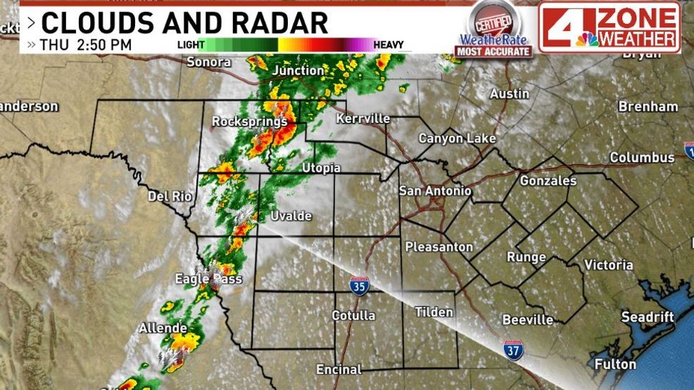
Satellite and radar.{ } Storms out west moving east to northeast
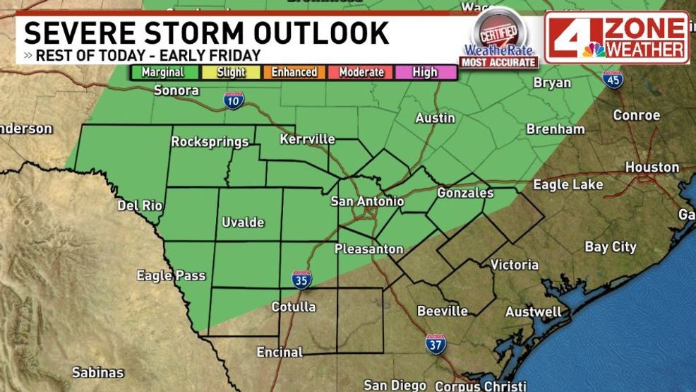
Marginal severe storm outlook through early Friday for risk of wind and hail
A marginal severe storm outlook remains across much of the region through early Friday.
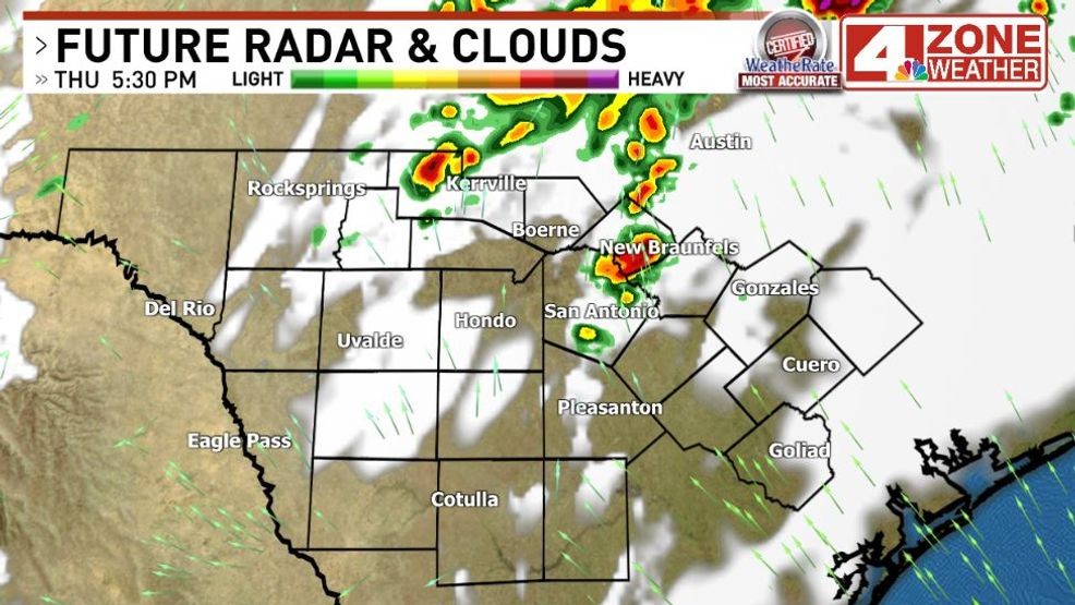
We will be carefully monitoring the progress of these storms as they head east into a warm, very humid environment to see how well they hold together. The time window to watch in and around Bexar County should they make the trip would be 5pm – 10pm. If we do see a few storms, the risk to see strong gusts and hail would accompany these storms.
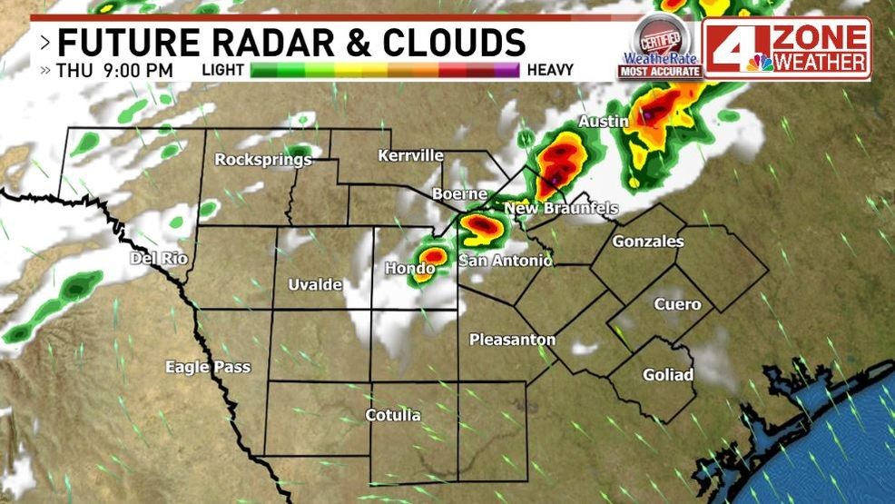
Future radar 9pm this evening
The flooding risk in and around Bexar County is very low and the Flood Watch no longer includes the I-35 corridor or counties along Hwy 90 to the west. Watch is only in effect for the Hill County from Kendall County west to Val Verde through tonight.
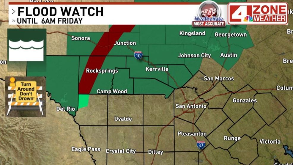
Flood Watch till 6am Friday.{ } Flash Flood Warning in Edwards County until 4pm
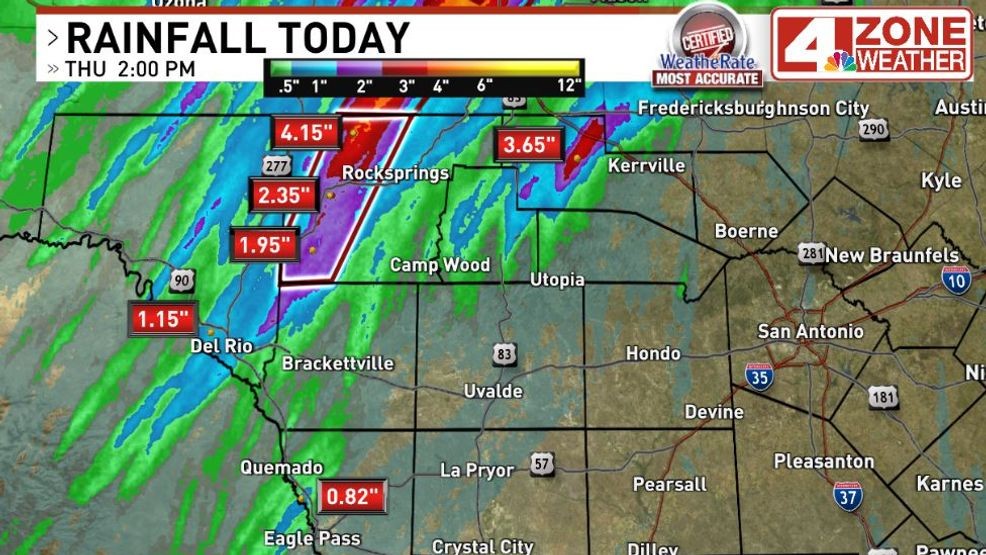
Rainfall totals through 2pm
Comment with Bubbles
BE THE FIRST TO COMMENT
An additional batch of showers and thunderstorms will be possible late in the overnight from 3am – 8am Friday ahead of the incoming cool front.
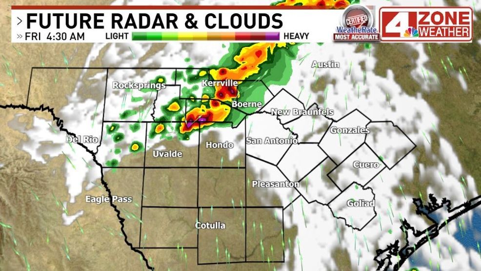
Future radar Friday 4:00am