 article
CHICAGO – Happy Thanksgiving! It has been a pleasant but cold day with highs in the low to mid 30s. Scattered snow showers have developed and are mainly impacting Northwest Indiana this evening.
Tonight will be cold and breezy with lows in the lower 20s and wind chills in the low to mid-teens.
Black Friday looks similar to today, but with more sunshine. Plan for mostly sunny to partly cloudy skies with highs in the low 30s and wind chills in the low 20s.
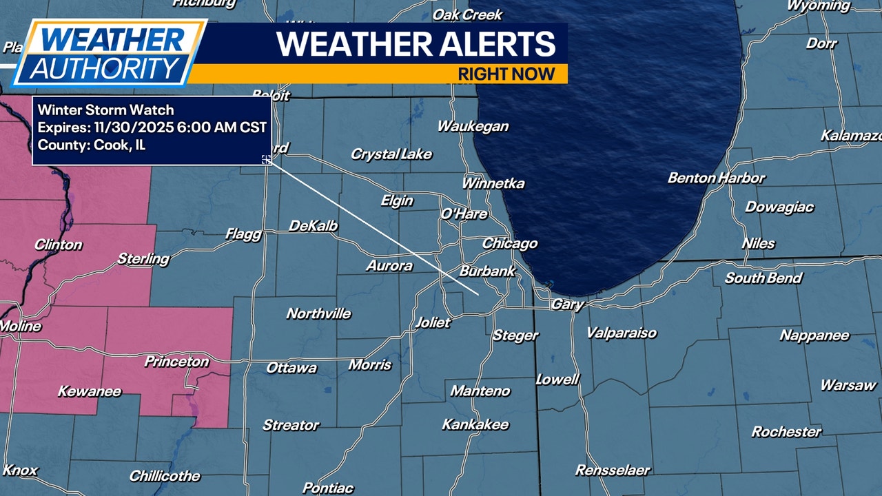
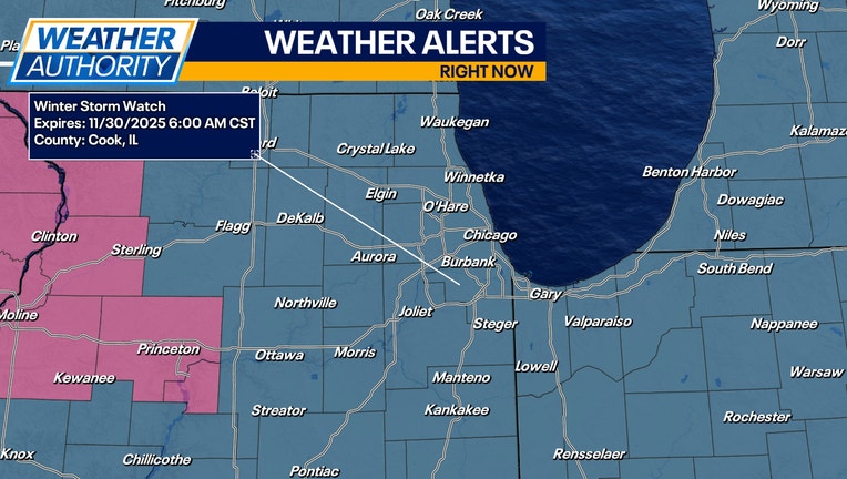
All eyes are on the weekend forecast as a disruptive snowstorm moves through the region. A Winter Storm Watch has been issued for the entire area ahead of our weekend storm. This Watch will likely be upgraded to either a Winter Storm Warning or a Winter Weather Advisory.
Snow will move in late Friday night and last until early morning Sunday. If the current forecast track holds, most of Chicagoland will likely pick up as much as 6-10″ of snow! A few spots may even end up close to a foot where heavier snowfall rates materialize.
Travel will become increasingly difficult during the day on Saturday. Commuters should consider re-arranging travel plans to avoid the roads Saturday afternoon and evening.
Following our weekend snowstorm, a true blast of arctic air moves into the Upper Midwest and Great Lakes Region. Temperatures will dip into the single digits for lows early next week with highs in the low 20s. The average high temperature for the first week of December is around 40 degrees.