A high-impact winter event will likely bring widespread snow to the Chicago area this weekend, potentially causing trouble on the roads for travelers heading home from their holiday destinations.
A winter storm watch covering the entirety of the Chicago area and northwest Indiana will take effect at 3 a.m. Saturday through Sunday morning.
On NBC 5 News at 6 p.m., Storm Team Chief Meteorologist Brant Miller shared four different forecast models, which revealed predicted snow totals ranging anywhere between 6.2 inches and 12.6 inches.
Regardless of the different projections, there is consensus the region will see some shoveling snow as we get into Friday night, all day Saturday and into Sunday morning, Miller said.
With significant snowfall totals possible, here’s what you can expect and when:
Thursday night into Friday morning
Before the snowfall begins, northwest winds will arrive alongside colder temperatures Thursday night into early Friday. Readings will drop into the mid 20s, Miller said, as a lake-effect snow machine continues on the other side of Lake Michigan.
Friday
The day won’t be bad overall, with high temperatures sitting just above the 30-degree mark. Even some peaks of sunshine will be visible before the winter system we’re expecting starts to spin near the Rocky Mountains.
Overnight Friday into Saturday morning
The snow system will take a while to arrive; it’s not expected to start moving in until late Friday through early Saturday morning. But when the snow does start, it will “likely quickly intensify” and begin to accumulate, the National Weather Service said in a social media post.
Saturday
Over an inch of snow is possible by 8 a.m. Saturday, meteorologists said.
According to the NWS, widespread snowfall is expected throughout the day and evening on Saturday. Snow may fall heavily at times, the NWS stated, with snowfall rates of one inch per hour possible.
By the afternoon, the following snow totals are possible: 7.7 inches in Naperville, 6.2 inches in Chicago and 7 inches in Valparaiso, Indiana, according to the NBC 5 Storm Team.
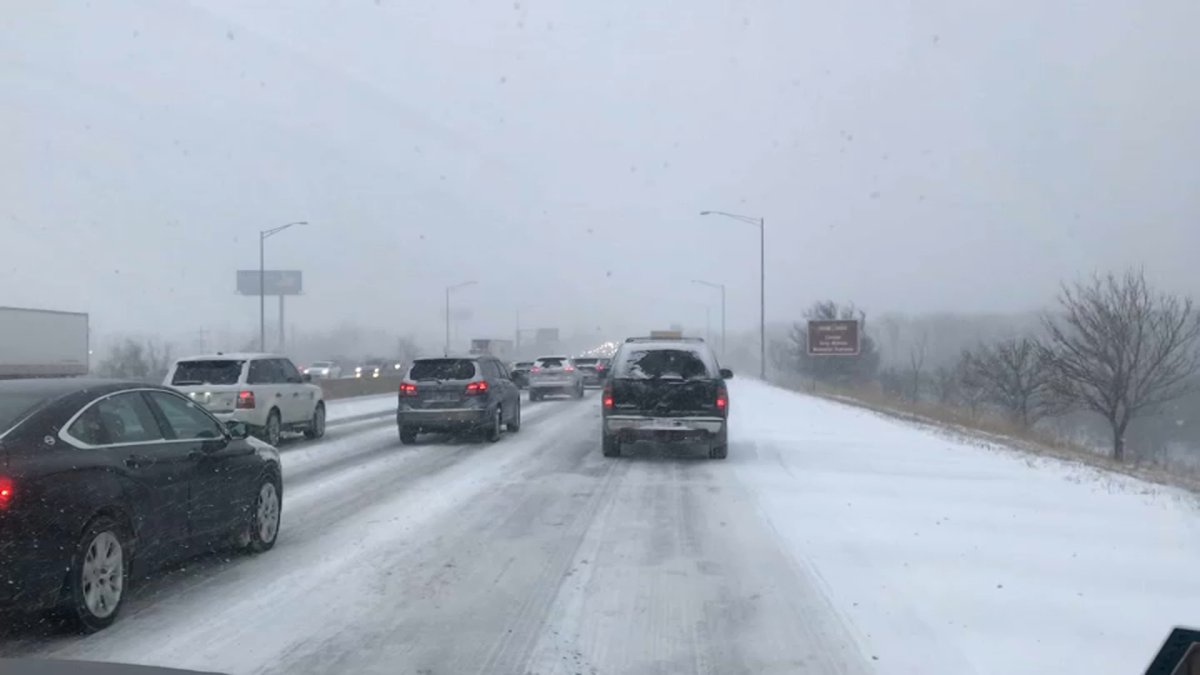
Those who must drive during the snowstorm should allow for plenty of time; snow-covered roads, hazardous travel and reduced visibility are all likely.
Overnight Saturday into Sunday
By the time we roll into late Saturday night and Sunday morning, some areas could encounter snow totals near 10 inches, Miller said. Relief won’t be far off, however.
The snow will likely taper off overnight, meteorologists said.
Sunday
While most of the snow will likely have moved out by then, lingering showers are possible on Sunday morning. Miller stated there will be some lake-effect snow showers on the other side of Lake Michigan.
Monday
While we’ll be in the clear when it comes to the snow, another concern will emerge: extremely chilly conditions.
Temperatures will sit in the single digits come Monday morning.
Readings around nine degrees – and a feels-like temperature of zero degrees – are expected at O’Hare International Airport.