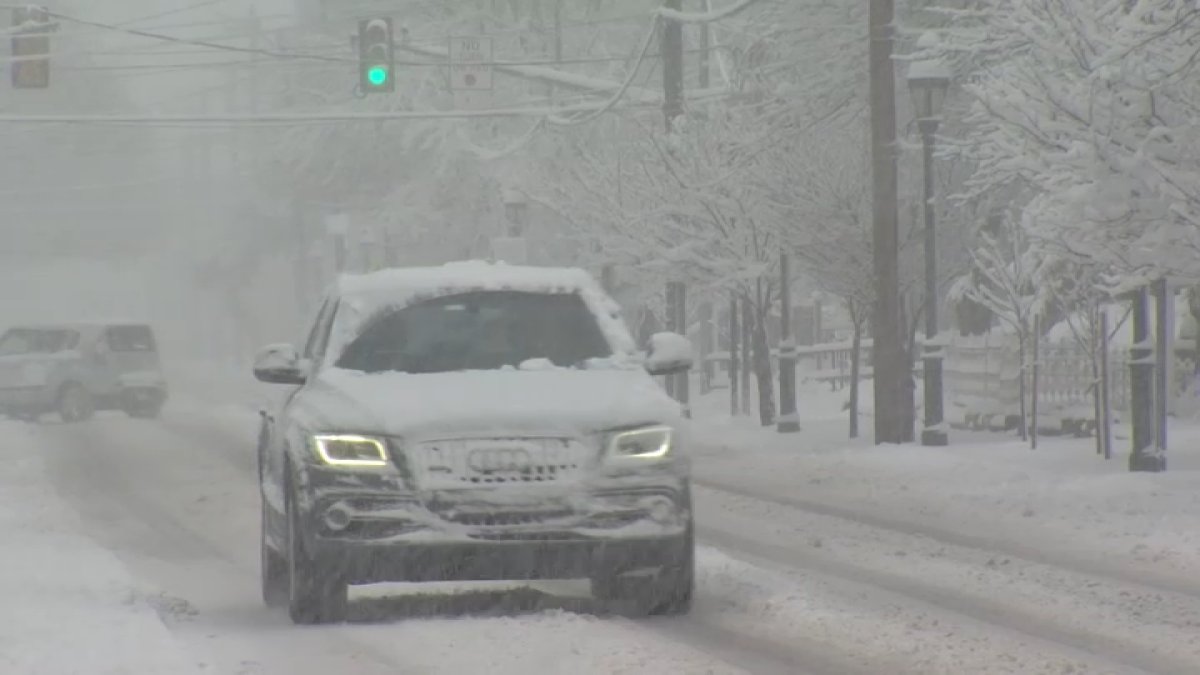
Law enforcement urged caution among drivers on Monday night as the Chicago area experienced another round of winter weather following record-setting snowfall over the weekend.
A winter weather advisory was issued until midnight, advising of snow totals between one and four inches, with the highest accumulation south of the Kankakee River Valley, the National Weather Service said.
The NWS, in a social media post, urged drivers to take it slow and keep a safe following distance as steady snowfall continued through the evening.
At approximately 8:30 p.m., the Illinois Department of Transportation’s current conditions map showed state roads across the Chicago area were “partly covered with snow or ice,” the lowest of three classifications for winter weather.
According to the map, a majority of state routes in DeKalb, Kankakee and Kendall counties were “covered with snow or ice,” which is the highest classification. Other areas, including Grundy and Will counties, were listed under “mostly covered with snow or ice.”
As the latest round of snowfall began, the Indiana State Police Lowell Post reiterated a message for drivers to slow down — after multiple slide-offs were reported along Interstate 65.
“Yep, it’s snowing, AGAIN, and you guessed it,” the state police post read. “People immediately began parking in the ditches, I mean sliding off into the ditches, I mean crashing into ditches along I-65 in the Remington area. Third snow storm of the season so far and apparently the message isn’t being received…”
In Illinois, the Kendall County Emergency Management Agency reminded drivers to be “careful if you have to go out.” The EMA shared a post from the Oswego Police Department, which said it had taken five crash reports in a one-hour span.
“Please use extra caution while driving tonight and allow extra stopping distance,” Oswego police said. “It may snow 1-3 inches more.”