
Friday will start off feeling very much like the middle of winter in the Philadelphia region, and for some, even looking like winter. So, get the layers ready!
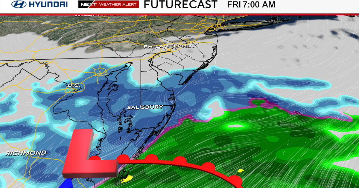
Temperatures Friday morning will start in the teens and low 20s. Light snow showers will move northeast across Delaware into extreme South Jersey through the morning hours. Philadelphia could see a few light snow showers, but they don’t look to last for long or amount to much.
South of the I-95 corridor could receive a light dusting of snow before it clears out around noon. In the meantime, temperatures will struggle to warm with high temperatures only around 30 degrees Friday afternoon.
CBS News Philadelphia
What’s NEXT
After a cold and somewhat of a snowy day Friday, temperatures will moderate a bit into the weekend with high temperatures Saturday and Sunday in the low 40s.

CBS News Philadelphia
Another cold front will push through the region Sunday night and usher in another round of Arctic air for the beginning of the week. High temperatures Monday afternoon will once again struggle to hit the freezing mark before dropping to the upper teens Tuesday morning.
The unseasonably cold air will lock in for Tuesday before warmer, but still cooler than normal temperatures build into the middle of the week. Going into next Thursday will be our next chance of rain and possibly some snow before another dip in temperatures.
Here’s your 7-day forecast:

CBS News Philadelphia
Friday: NEXT Weather Alert for cold and snow. High 32, Low 21.
Saturday: Partly sunny. High 42, Low 28.
Sunday: Sun and cold. High 43, Low 29.
Monday: Very cold. High 33. Low 27.
Tuesday: Very cold. High 37, Low 19.
Wednesday: Not as cold. High 44, Low 30.
Thursday: Rain/snow?. High 44, Low 35.
More from CBS News