National Weather Service officials warned of a wintry mix expected to hit portions of the Chicagoland area Tuesday evening before it ultimately transitions to snow as the days move forward.
Officials said a period of light freezing rain Tuesday evening may affect travel conditions. Southwest winds are expected to strengthen Tuesday night with gusts up to 40 mph early Tuesday evening. During Tuesday evening, there is a 20% chance of rain with a 100% chance of freezing rain overnight, officials said.
On Wednesday, officials said there is an 80 percent chance of rain/snow in the morning hours and a 30 percent chance moving into the night hours. Gusty snow showers and squalls may lead to dangerous road conditions Wednesday, as temperatures are expected in the mid 30s but could dip into the low 20s.
Snow accumulations are possible late Thursday through Saturday in portions of north central and northeast Illinois, and northwest Indiana. Bitterly cold wind chills as low as 15 to 25 below zero are possible Saturday morning through Sunday morning, officials said.
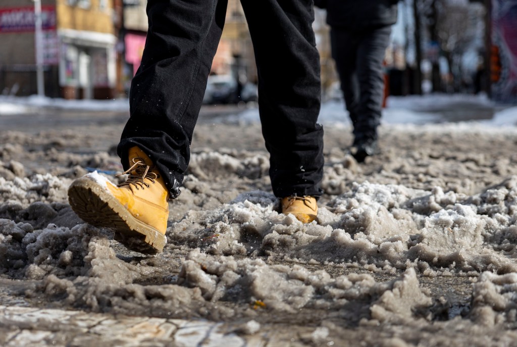
Last weekend, Chicago was blanketed with up to 5 inches of snow in what a meteorologist at the National Weather Service called the “quickest start to winter” since 1978. Three to 5 inches of snow fell across the metro area, with northern suburbs seeing up to 7 inches of snow. Accumulated snowfall at Chicago O’Hare this season reached 17.1 inches on Sunday, according to meteorologist Zachary Yack.
Current morning conditions at O’Hare International Airport are registered as partly cloudy at 30 degrees with a wind chill of negative 1. Farther south at Midway Airport, conditions are the same.
More weather news