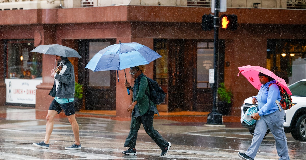
North Texas continues its rainy Independence Day weekend with chances of thunderstorms through much of Sunday.
There’s a 40% chance of rain and thunderstorms in Dallas-Fort Worth during the morning and before 4 p.m. But the chance of rain and thunderstorm are expected to drop to 10% before 7p.m., according to the National Weather Service.
Temperatures during the day are forecast to rise into the high 80s, then dip into the low 70s in the night.
Warmer temperatures are likely on Tuesday, with rain less likely, the weather service predicted.
D-FW Weather Wise
Currently central Texas and lower regions of North Texas are under a flood watch until 7 p.m. Sunday.
Torrential rain caused deadly floods on Independence Day in Kerr County as the Guadalupe River rose beyond its banks. The overflow swept through surrounding homes and campsites.
The river rose about 26 feet in 45 minutes Friday morning, Lt. Gov. Dan Patrick had said.
As of Saturday, at least 43 people were dead in Kerr County and several more in nearby counties. Dozens remain missing, including 27 girls who were at Camp Mystic.
Gov. Greg Abbott has signed a disaster declaration for Kerr County and other hard-hit counties.
The state deployed more than 1,000 state responders and over 800 vehicles and equipment assets to flooded areas on Friday, Abbott said. Texas lawmakers have also launched a bipartisan campaign for flood relief.
The latest Dallas weather forecast from KXAS-TV (NBC5):
MONDAY: Partly sunny and seasonably hot. Low: 76. High: 94. Wind: S 5-10 mph.
TUESDAY: A mixture of sun and clouds, hot. Low: 78. High: 96. Wind: S 5-10 mph.
WEDNESDAY: Partial sunshine, hot. Low: 77. High: 97. Wind: S 5-10 mph.
THURSDAY: Partly sunny and hot. Low: 77. High: 97. Wind: S 5-10 mph.