A cold front will push through the Chicago area Sunday, bringing with it a chance for thunderstorms and dangerous waves on Lake Michigan.
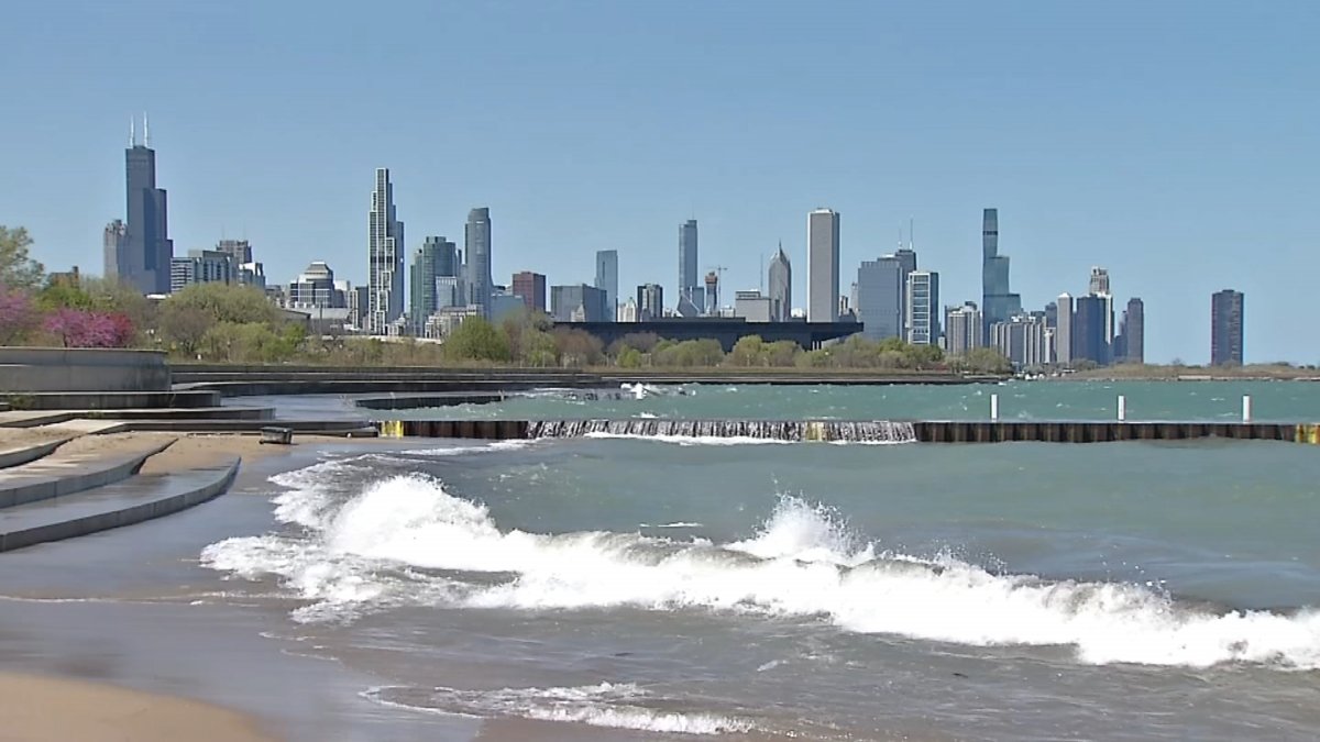
According to the NBC 5 Storm Team, the front is expected to shift winds out of the north, paving the way for 4-to-6 foot waves on Lake Michigan on Sunday afternoon.
The waves will make for dangerous swim conditions, and fast-moving currents are also expected, which could lead to the closure of area beaches, according to forecast models.
Residents are urged to monitor all warning systems on the lake for the latest updates.
In addition to the high waves, a wave of scattered showers and thunderstorms will accompany the front, according to forecast models. Though severe weather is not expected, heavy downpours are possible with some of the storms that develop, which could lead to localized flooding during the afternoon and early evening hours.
Once the front passes through the area, temperatures are going to drop significantly, leading to a comfortable and cool evening, with lows in the mid-to-upper 60s, according to the NBC 5 Storm Team.
Monday will be a pleasant day in the area, with high temperatures in the low-80s and cooler near the Lake Michigan shoreline. Dry conditions are expected for the day, though a more unsettled weather pattern could arrive as soon as Tuesday.
On that day, temperatures will be warmer, rising back into the upper-80s, and chances for showers and thunderstorms will reenter the forecast in the evening hours, according to the NBC 5 Storm Team.
Several more chances of showers and storms will enter the forecast for the remainder of the week, with temps sticking around in the 80s before another potential upswing in readings occurs next week, with highs rising back into the 90s for mid-July.
Stay tuned to the NBC 5 Storm Team for all the latest weather updates and information, and be sure to download the NBC Chicago app for real-time weather alerts sent directly to your device.