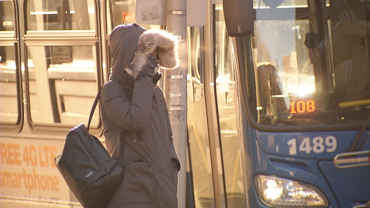
Below-zero wind chills moved into the Chicago area on Saturday morning, beginning a stretch of dangerous cold that could send wind chill values plummeting to more than 25 degrees below zero.
Both the city and suburbs woke up to extremely chilly and blustery conditions as feels-like temperatures sat in the negative single digits. If the frigid weather wasn’t enough, light snow already began to fall in the southern part of the Chicago area, beginning what was expected to be several hours of snowfall.
NBC 5 Storm Team Meteorologist Pete Sack said a few stray flurries might drift northward, but by and large the heavier snow will stay along and south of Interstate 80.
Nothing in the way of accumulation should be expected north of Midway Airport, though nearly two inches of snow are possible in spots, including Kankakee. Other communities are forecast to see lighter amounts, with Morris expecting around 1.5 inches of snow and Romeoville likely to experience around a half-inch.
While heavy snow likely won’t impact the majority of the region, the wind and extreme cold will be a different story. Sack said wind gusts will approach the 20-mile-an-hour mark through the afternoon and into the evening.
Then, as the winter system winds its way down across the region, we’ll see a bit of clearing later on.
But you’ll want to keep an eye on the temperatures, which will stay in the single digits until around 10 p.m. Wind chill values, meanwhile, will remain around zero throughout the day.
Then, the overnight hours will come along, bringing the chilliest conditions yet.
While skies will be mainly clear, we’ll be looking at some extremely cold temperatures, and wind gusts at times will approach 30 miles per hour, NBC 5 Storm Team meteorologists said.
Air temperatures will drop below zero, with values plunging to as low as negative six degrees. But when you factor in the gusty winds, wind chill values will range anywhere from 20 to 30 degrees below zero.
Wind chills are expected to fall into the -15 to -30 F range tonight into Sunday morning, with the coldest conditions across NW Illinois. Wind chills will likely remain below zero through the day on Sunday. Bundle up! (2/3) pic.twitter.com/U3HaxiYg2b
— NWS Chicago (@NWSChicago) December 13, 2025
The cold will continue Sunday, though we’ll get a dose of sunshine; sunny conditions are expected by noon, Sack said.
The good news is winds will be backing off, but temperatures won’t warm much.
Readings will likely be in the single digits as the Chicago Bears and Cleveland Browns kick off at Soldier Field. Wind chill values, however, will be below zero.
Winds will start picking up Sunday night, and a few clouds will drift their way on through.
The nighttime hours will start out with temperatures in the low single digits, and once again, we’ll be looking at wind chill values below zero.
But those winds, which will be arriving from the south, will start moderating temperatures just a little bit.
Monday, meanwhile, will bring clouds and sunshine at times. Slightly milder temperatures are on tap, with readings in the low-to-mid 20s across and wind chill values in the low-to-mid teens, Sack said.