Australia is getting a smorgasbord of extreme weather over the next few days, featuring heat and humidity, severe thunderstorms and tropical storms.
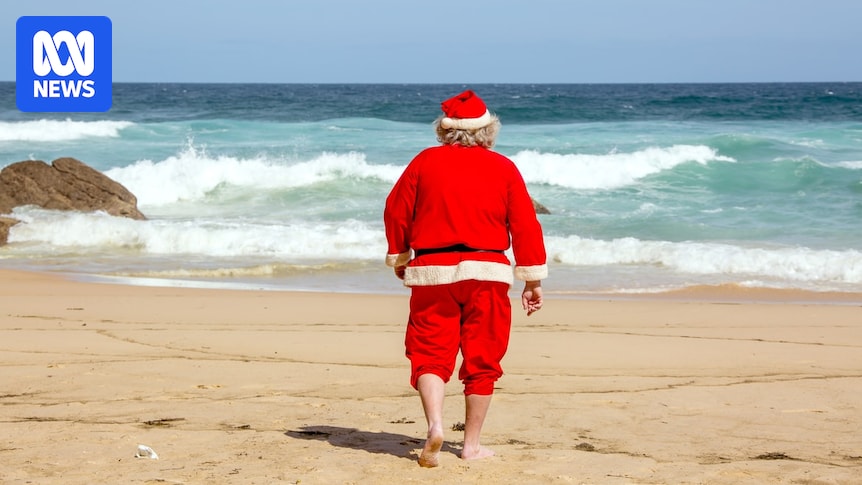
It all comes ahead of a Christmas Day scorcher in the west, with mild to cooler conditions forecast for the south and east, and possible storms in the north.
Latest Christmas and Boxing Day forecast
There are still five days to go — meaning there’s plenty of time for the forecast to change.
Figures from the Bureau of Meteorology (BOM) show that five days out, the temperature forecast is within 2 degrees Celsius of the actual temperature about 75-79 per cent of the time.
But BOM senior meteorologist Sarah Scully said the picture for Christmas Day was starting to take shape.
“I would say there’s a fair amount of confidence that the temperatures are going to be hot out west, cool in the south-east, with some showers and possible storms for the east coast,” she said.
The truth about forecasts beyond a week
Heatwave sweeping across Vic, NSW, Qld, WA
Before the big day rolls around, however, there’s a fair bit of severe weather on the cards.
Heatwave conditions are currently making their way across the south-east.
It’s also being met with high humidity and the risk of severe storms.
Parts of SA, Vic and NSW have already faced very hot temperatures. Sydney experienced its hottest day since January 2018, reaching up to 42.2C in the city on Friday — equalling the December record for the city.
Adelaide also reached 41C on Thursday and Melbourne hit 38C.
From Saturday, a southerly wind change will bring relief to parts of South Australia and southern Victoria. Melbourne, for example, will drop down to 24C and Adelaide to 28C.
Northern parts of Victoria, however, particularly toward the north-east, as well as large parts of eastern New South Wales, will remain under severe to extreme heatwave warning conditions.
Loading…
This will continue to build and extend into parts of south-eastern Queensland over the course of the weekend into early next week.
Ms Scully said parts of eastern New South Wales, Victoria and southern Queensland were looking at temperatures “well above average” this weekend, with Sunday the peak day.
“So the peak heat day for New South Wales is expected to be on Sunday where there’ll be maximum temperatures 10 to 12 degrees above average about the east coast and the adjacent land areas,”
she said.
From early next week, a cooler air mass will push into western and central parts of New South Wales, but it is not expected to make it over the Great Dividing Range.
It’s set to be a hot Christmas in Perth and western WA. (ABC News: Kenith Png)
It means the warmth will continue through the eastern parts of New South Wales and into south-east Queensland next week, in particular at night in Sydney and Brisbane.
A separate heatwave is also looking likely to develop in WA from early next week, peaking between Christmas Eve and Boxing Day for large parts of the west coast.
Tropical humidity helps fuel severe storms
The heatwave in south-eastern Australia has also been paired with high humidity in recent days — an element that can make a hot day feel much worse, because it hinders the body’s ability to cool down.
“It’s [been] quite sticky and tropical for areas that don’t typically see it, like Melbourne, for instance,” Ms Scully said.

Relentless humidity in Queensland is becoming hard to escape. (ABC News: Shelley Lloyd)
The addition of moisture is helping set the stage for severe storms, according to Ms Scully.
On Saturday, BOM is forecasting a severe storm risk through south-east NSW and parts of the ACT, carrying the risk of heavy rainfall that could bring the risk of flash flooding, large hailstones and damaging wind gusts.
It’s Sunday that looks to be the peak day, however.
Loading…
Widespread severe storms are possible across large parts of New South Wales’ south and Victoria’s north east.
“It does look like it’s going to be a fairly big storm day for south-east in Australia on Sunday due to that low-pressure system and associated cold front tapping into the tropical moisture and drawing it in further southwards,” she said.
The weather systems driving the storms are forecast to move away from far south-eastern Australia late on Sunday into Monday.
But storms are likely to continue in north-east NSW early next week.
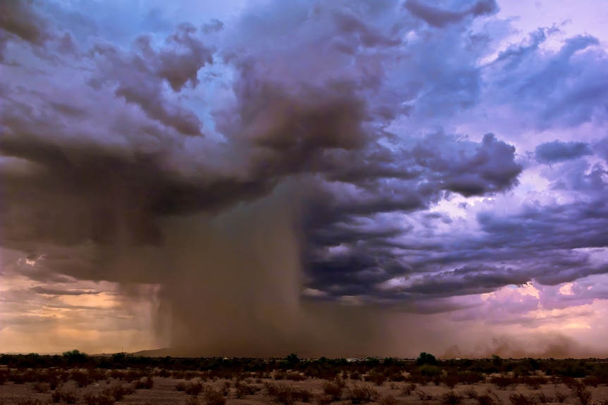
Tropics start firing up ahead of Christmas
Meanwhile, across northern Australia, the wet season is beginning to kick into gear with a tropical low and monsoon trough likely to bring widespread rain and storms over the course of the next week.
The tropical low was forecast to reach eastern parts of the Northern Territory on Friday and continue moving inland over the weekend.
Heavy rainfall is possible in the eastern Arnhem and Carpentaria District on Saturday, with isolated six-hourly rainfall totals between 150 and 180 millimetres possible.

Tropical northern Australia could see decent rainfall and possible flooding over the next week. (ABC News)
Ms Scully said there was a risk cumulative falls could amount to disruptions on the roads.
“Because this low-pressure system does sort of linger over the Top End or western Gulf Country over the next few days, it is going to end up being sort of multiple days of heavy rainfall that could disrupt transport or travel plans over the Christmas period,” she said.
Conditions across the Carpentaria district are forecast to ease from Saturday evening, but Ms Scully said there were also signs a monsoon trough would develop across the Top End from next week.
This could help drive more widespread thunderstorm development over the tropical north during the festive break.
Monsoon rain pelts down on the landscape. (Supplied: Deep Desert Photo)
Capital city forecasts for Christmas DayAdelaide
Adelaide can expect a fairly typical December day this Christmas.
Cloud clearing on Christmas Day, with light winds and a bit of warmth and sunshine by Boxing Day.
BOM forecast: Christmas Day 27C with cloud clearing. Boxing day 31C and sunny.
Brisbane
Brisbane is looking warm with the chance of a shower or two, although rainfall totals are still a bit unclear.
BOM forecast: Christmas Day 32C with a shower or two, 1-9mm. Boxing Day 29C with a shower or two, 0-4mm.
Canberra
Canberra can expect a fairly typical December day this Christmas.
The city can expect mostly sunny skies and, at this stage, pleasant temperatures.
BOM forecast: Christmas Day 29C, mostly sunny. Boxing Day 26C, partly cloudy.
Darwin
Not surprisingly, Darwin will be warm and may see downpours of showers and thunderstorms, but it’s unclear how much. It could be decent, or it could be a miss.
BOM forecast: Christmas Day 32C, high chance of showers. The chance of a thunderstorm, 1-40mm. Boxing Day 32C. Shower or two, possible storm, 0-30mm.
Hobart
Hobart is likely to see a dry Christmas, though it will be on the cooler side.
BOM forecast: Christmas Day 17C, cloudy. Slight chance of a shower, 0-1mm. Boxing Day 20C, cloudy.
Melbourne
Melbourne is likely to experience a relatively cool but dry Christmas.
BOM forecast: Christmas Day 18C, cloudy. Boxing Day 20C, partly cloudy.
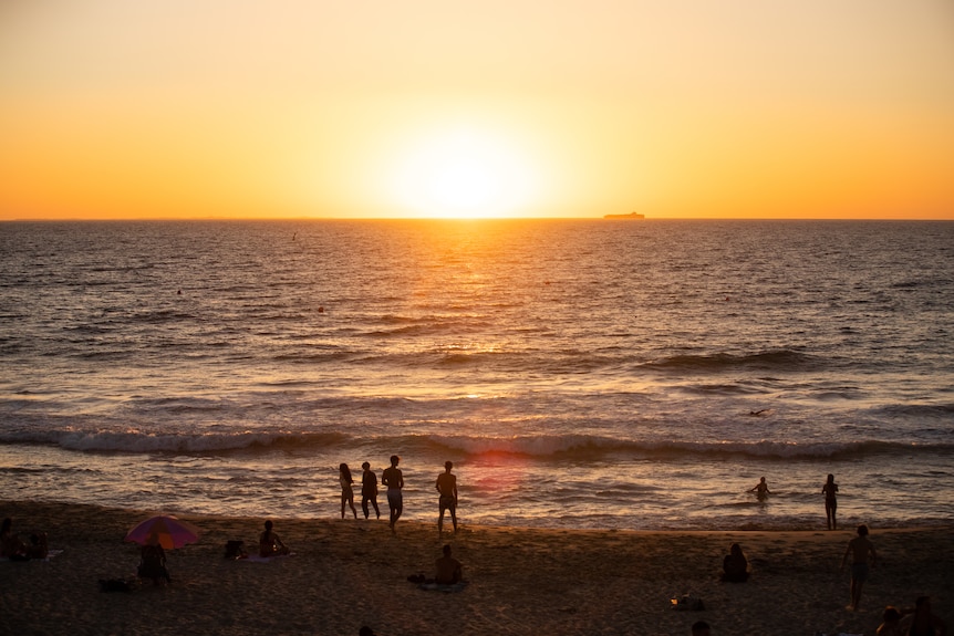
Perth
Perth is looking to be the hottest of all the capitals, thanks to north-easterly winds coming in from the western deserts. This will be the case for large parts of the west coast from mid next week.
BOM forecast: Christmas Day 40C, mostly sunny. Boxing Day 31C, partly cloudy.
Sydney
Sydney may see light showers over Christmas, but temperatures won’t be too cold or too hot.
BOM forecast: Christmas Day 29C. Cloudy. Medium chance of showers, 0-4mm. Boxing Day 24C. Cloudy, no rain.