PHOENIX (AZFamily) — Another incredible weekend is on tap, with high temperatures in the upper 70s to the lower 80s. Keep in mind our average high this time of year is around 65 degrees.
We could even hit some record-high temperatures, with highs in the lower 80s both Sunday and Monday. That ridge of high pressure will hold strong through Tuesday.
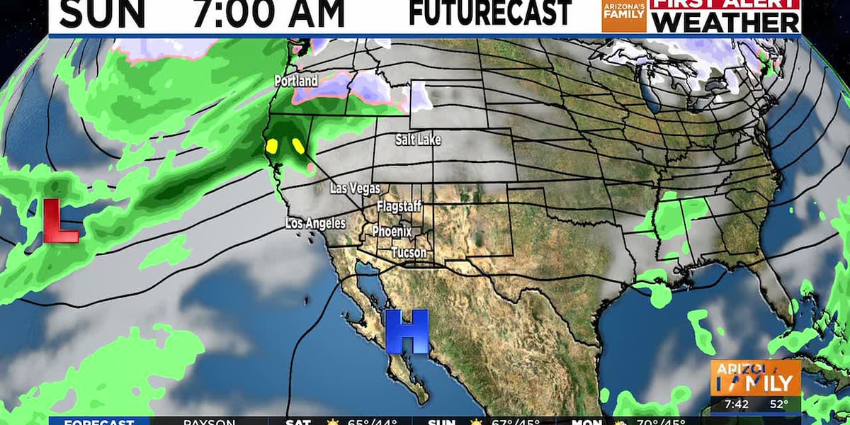
The next significant change is a low-pressure system that is off the coast of California, which will move inland and bring us a few clouds and a chance of rain starting on Christmas Eve.
So far, we have about a 30 percent chance of showers starting in the afternoon on Christmas Eve and lasting through Christmas Day. Temps will drop as well with highs still above average, in the mid-70s.
For this first wave, Christmas Eve and Christmas Day, it looks like most of the action will take place in the Northwest part of the state.
The weather will stay unsettled through New Year’s, and it looks like as we get closer to Jan 1st, temps will drop and we will see a better chance of rainfall. With the temps dropping, we could also see a better chance of mountain snowfall to start the New Year.
See a spelling or grammatical error in our story? Please click here to report it.
Do you have a photo or video of a breaking news story? Send it to us here with a brief description.
Copyright 2025 KTVK/KPHO. All rights reserved.