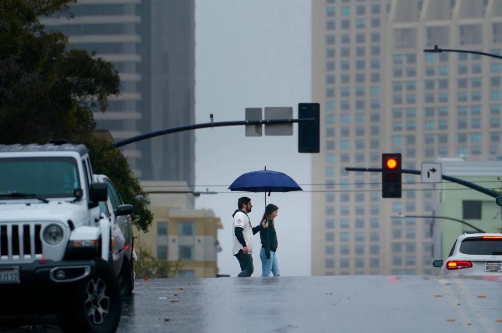
The souped-up Pacific storm that will hit San Diego County on Christmas Eve could drop 3 to 4 inches of rain over a short period, making travel dicey and raising the risk of flooding, the National Weather Service said.
San Diego averages less than 2 inches of rain in December and hasn’t had a drop this month.
The region is getting the tail end of an massive storm that will affect the state’s entire coastline, and its inland foothills and mountains. On Monday, the system is expected to slam the San Francisco Bay Area, then steadily sink toward Southern California.
The storm, which also is packing strong winds, could slow or disrupt traffic on Interstate 5 and U.S. Highway 101, two prime routes between San Diego and San Francisco.
Forecasters say the system will push into Orange County and the Inland Empire late Tuesday night and unleash heavy rain, and possibly spark lightning, on Wednesday. The wind could gust as high as 40 mph in spots from San Diego to Julian, forecasters said.
The most intense rain is expected to fall from mid-morning until late-afternoon Wednesday, when last-minute Christmas shoppers will be crowding freeways. Downpours could close some parking areas at the Fashion Valley Mall in Mission Valley, which often floods in heavy rain.
A flash flood watch will be in effect countywide from 4 a.m. Wednesday to 1 a.m. Thursday.
The forecast has turned worrisome over the past couple of days.
The weather service earlier thought the storm could produce about 1.5 inches of rain in San Diego, and roughly twice as much across inland valleys and mountains.
On Sunday, they said San Diego could get 2.5 to 4 inches of precipitation. And there was deeper confidence that some areas east of Interstate 15 would be seeing 3 to 4 inches of rain.
Snow isn’t expected, though. The storm is comparatively warm due to its connections with the subtropics.