After Dallas-Fort Worth shattered a high temperature record that had stood for 61 years, the region is poised to set another record Wednesday — but cooler air is in the forecast.
The high temperature on Tuesday topped out at 82 degrees at DFW International Airport, breaking the record of 81 that was set back in 1964.
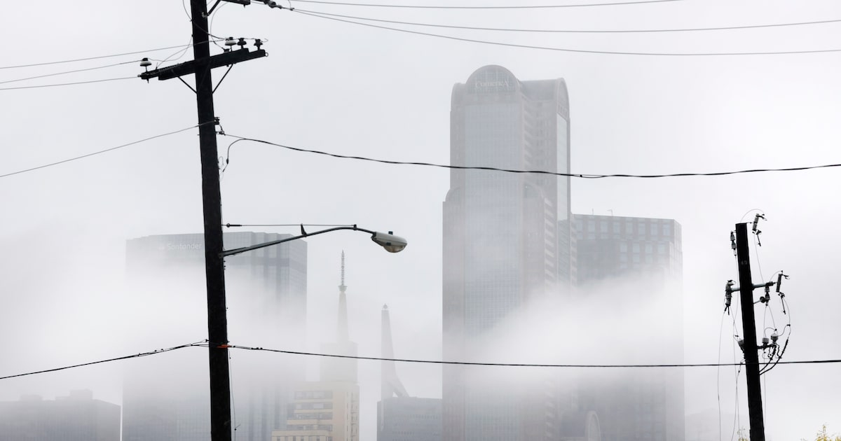
Wednesday is expected to begin with some morning patchy fog, according to the National Weather Service’s Fort Worth office. Although clouds are expected for most of the day, some sun could break through in the afternoon.
The high temperature will top out at 78 degrees before falling back to 64 degrees at night. The region can expect southwest wind gusts as high as 20 mph during the day.
D-FW Weather Wise
Christmas Day and the next few days after are expected to be warmer-than-normal thanks to a high pressure system that will bring daytime temperatures in the 80s, according to the weather service.
But a cold front expected to arrive Sunday will bring more seasonal weather to the region, forecasters say.
The latest Dallas weather forecast from KXAS-TV (NBC5):
WEDNESDAY (CHRISTMAS EVE): Partly cloudy, breezy, and very warm. Low: 63. High: 76. Wind: S 10-20 mph.
THURSDAY (CHRISTMAS DAY): Partly cloudy and very warm. Low: 62. High: 79. (Record High: 82). Wind: SSW 10-20 mph.
FRIDAY: Mostly sunny and very warm. Low: 63. High: 83. Record High: 83 (2008). Wind: SSW 10-15 mph.
SATURDAY: Partly cloudy and very warm. Low: 61. High: 83. Record High: 82 (2005). Wind: SW 10-15 mph.
SUNDAY: Mostly cloudy, breezy and much cooler, with a 20% chance of showers. Low: 54. High: 62. Wind: N 10-20 mph.
MONDAY: Partly cloudy and chilly. Low: 38. High: 54. Wind: N 10-15 mph.