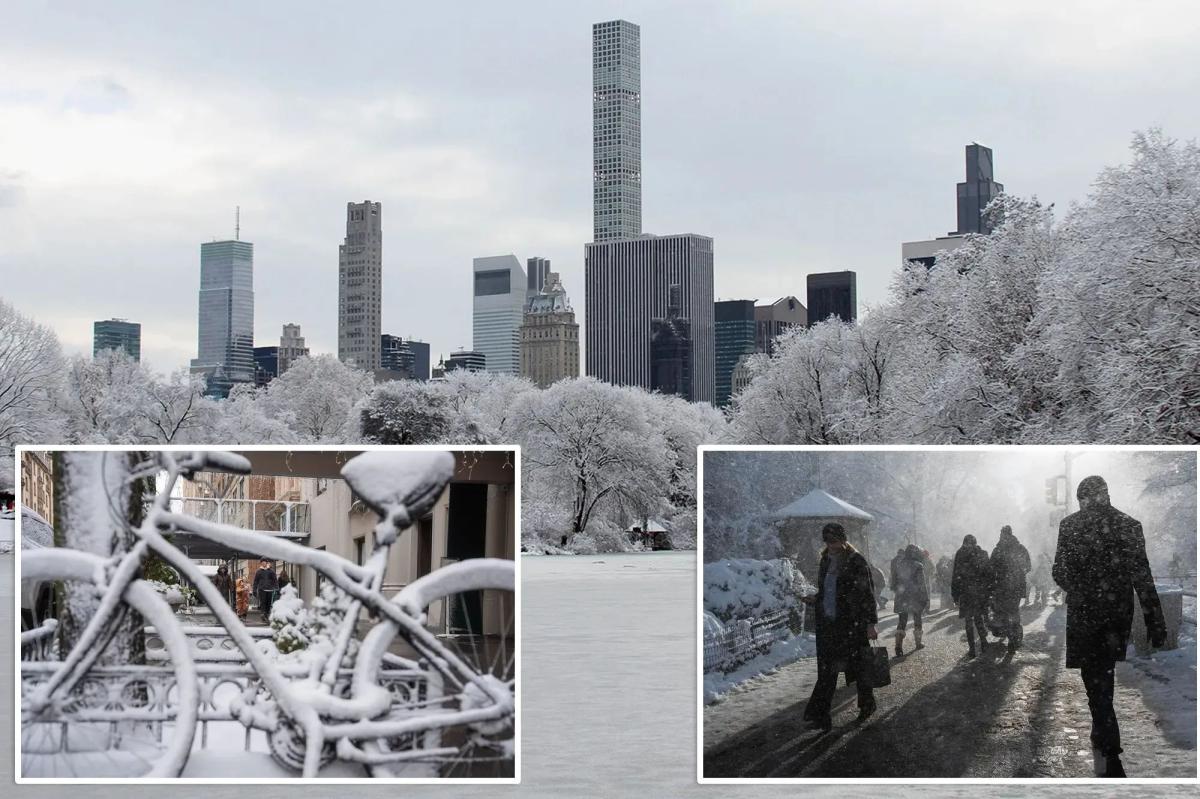
New Yorkers are in store for a belated white Christmas — with a “reasonable worst-case scenario” of up to 10 inches by early Saturday afternoon, weather experts warned Thursday.
Forecasters are expecting the snow to wallop Gotham starting late Friday afternoon into Saturday – just in time to cause “hazardous” post-holiday travel delays and plenty of messy headaches for the gift-return crowd.
Forecasters are expecting snow to start walloping Gotham starting late Friday afternoon.
A winter storm watch will take effect for New York City — as well as northeast New Jersey, New York’s lower Hudson Valley and Long Island — on Friday at 4 p.m. until 1 p.m. Saturday, according to the National Weather Service.
The flurries are expected to become heavier into the evening as temperatures drop into the high 20s, the weather service said.
The agency said it expects total snow accumulations to measure between 4 to 8 inches for the metro region through early Saturday afternoon, though a “reasonable worst-case scenario” of up to 10 inches is still on the table.
About an inch of snow an hour is possible, though there’s still a “low” chance of up to 2 inches per hour in heavier snow bands, the weather service said.
Either way, “hazardous travel from snow-covered roads” is expected.
The expected “fast-moving” storm has a “high likelihood of producing enough snow to require shoveling and plowing in the New York City metro area,” AccuWeather noted in a Thursday afternoon update.
The region should brace for “major slowdowns on roads and at airports,” AccuWeather warned, with senior meteorologist Tyler Roys adding that the “fast-moving storm will pack a punch in the Northeast right after Christmas.
Meteorologists said they don’t expect the snowfall to paralyze the city, but it will be a “pain in our butts” in terms of travel. Yoav Ginsburg/Zuma / SplashNews.com
“It looks like a 3- to 6-inch snowfall for the area coming probably very late tomorrow into tomorrow night,” AccuWeather senior meteorologist Tom Kines told The Post on Thursday.
“If you’ve got errands to do during the day – returning presents or whatever – or even traveling, I think for the most part you’re OK. After 3 or 4 p.m. tomorrow, that’s when you start worrying about some snow coming in.”
A winter storm watch takes affect for the Big Apple at 4 p.m. Friday. Yoav Ginsburg/Zuma / SplashNews.com
Kines predicted “poor traveling conditions” and delays both on the road and at the airports starting around rush hour late Friday afternoon.
“I don’t envision this as a storm that’s going to shut the city down and all that, but it will be a pain in our butts in terms of travel,” Kines said.
About an inch of snow — or even up to 2 inches — an hour is possible. Paul Martinka for NY Post
Acting city Department of Sanitation Commissioner Javier Lojan has told The Post his agency launched preparations “well in advance of this storm, and we are ready for whatever comes our way.”
The DSNY warned in an X post that delays to Friday trash collections “are to be expected as we work to pick up material and prepare vehicles for snow operations at the same time.”
Start your day with all you need to know
Morning Report delivers the latest news, videos, photos and more.
Thanks for signing up!
The last time New York City saw a similar snow forecast was in February when roughly 3 inches of snow dropped on the boroughs, Kines said.
Travel conditions should improve Saturday, when the snow is slated to taper off by daybreak, the meteorologist said.
“Most of Saturday, it’ll just be a cloudy day,” he said.
