Dense fog is blanketing Staten Island Monday morning with visibility below one mile, according to the National Weather Service.
A dense fog advisory remains in effect until 12 p.m. for Richmond County and surrounding areas, with patchy freezing fog possible in some locations.
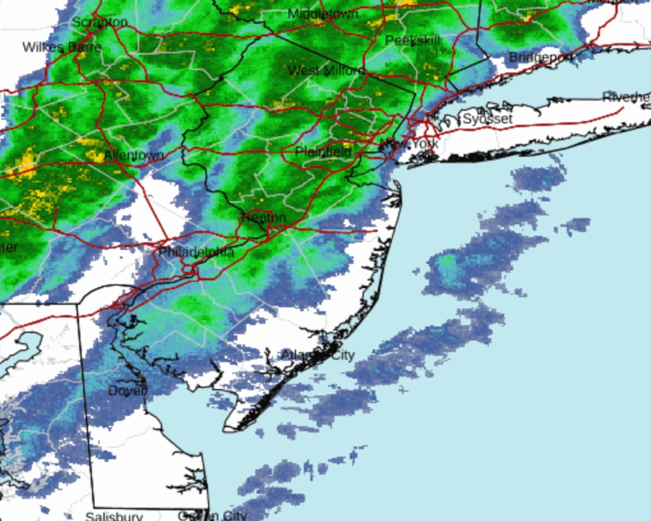
The fog is expected to lift by mid-morning as rain moves into the region. A warm front passing through early Monday will be quickly followed by a cold front around midday, bringing periods of rain that may be moderate at times. Temperatures will reach the upper 40s to lower 50s along the coast before falling sharply later in the day.
Winds will increase significantly behind the cold front Monday afternoon, with gusts up to 40 mph possible across Staten Island, the National Weather Service warns. These strong winds may help dry surfaces before temperatures drop below freezing Monday night, though melting snow could lead to localized black ice issues, especially on untreated or wet surfaces.
Tuesday will bring much colder conditions to New York City, with temperatures struggling to rise above freezing. Wind chills will make it feel like the teens and low 20s throughout the day as gusty winds continue, though gradually subsiding into the afternoon and evening.
The cold pattern will persist through the week with temperatures remaining 5 to 10 degrees below normal. Daytime highs will reach only the mid-30s at most, with wind chills staying below freezing throughout the period.
Two chances for precipitation are expected later in the week. The first system arrives Wednesday night into Thursday morning, likely bringing snow to Staten Island with temperatures well below freezing. A second chance for precipitation, primarily snow, may develop during the weekend.
A draft of this story was generated using AI. It was reviewed, edited and approved by Advance/SILive.com staff.