An evacuation warning will go into effect Wednesday for properties near recent wildfire burn zones in Los Angeles County as another late-December storm appears set to bring more rain to Southern California.
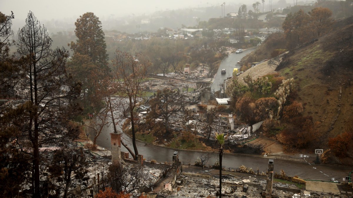
Evacuation warnings, meaning residents should be prepared for possible mandatory evacuation orders, being at 11 a.m. Wednesday for burn scars, including the Palisades, Eaton, Agua Dulce, Franklin, Bridge, Kenneth and Canyon fires, due to the possibility of mud or debris flows. The city of Los Angeles also issued an evacuation warning for the Sunset Fire area in the Hollywood Hills.
Deputies will go door-to-door to contact residents at high-risk properties.
Southern California hillsides, already saturated from a Christmas-week storm that soaked the region for several days, will likely receive several more inches of rain from this week’s storm.
Recently burned hillsides are particularly vulnerable to mudslides and debris flows because fire stripped vegetation that holds soil in place. High rainfall rates can trigger water runoff that can pick up loose soil, rocks and debris.
Flood watches will be in effect for widespread parts of Southern California from Wednesday evening to Thursday evening. The watches mean conditions indicate flash flooding could develop and can be elevated to more severe flash flood warnings.
Scattered showers are in the Wednesday morning forecast. The height of the rainfall is expected late Wednesday into Thursday morning as the calendar turns to 2026.
Most areas will see 1 to 3 inches of rain with 2 to 5 inches possible in the mountains.