Afternoon storms expected for Jacksonville
JACKSONVILLE, Fla. – Hi, it’s Katie Garner from News4JAX’s The Weather Authority. Let’s talk about what’s heading our way today in Jacksonville.
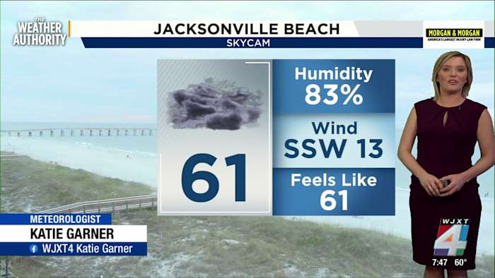
I want you to be ready for a wet afternoon and evening. Showers and storms aren’t here yet, but they’re expected to arrive later today. With Exact Track 4D, I’m tracking a cold front that will bring gusty winds, heavy downpours, and a risk for hail in some spots.
The main line of storms is expected to reach southern Georgia by 3 p.m., then make its way into Jacksonville and Mayport from 3 to 5 p.m. After that, more storms will develop across the area, with the heaviest rain expected for St. Augustine and Palatka between 7 and 9 p.m. These time windows may change, so keep checking back for updates.
Most of us are under a marginal, level one severe risk today. That means any severe storms are expected to be isolated, not widespread. The main threats include strong wind gusts and locally heavy rain, which could mean quick, isolated flooding and maybe even a little hail.
If you snap a photo or video of the weather rolling through, I’d love to see it! Share your moments with me and the News4JAX team through SnapJAX at news4jax.com/snapjax.
Cooler game day and weekend
As we move into Sunday, you can expect cooler air to follow the storms—not cold, just cool. After today’s high of 74 degrees, temperatures drop to a high of 64 degrees for Sunday. Overnight, lows fall to the 50s.
If you’re headed to the Jags game, you’ll want a light jacket. There’s a slight, 20 percent chance for a shower early Sunday, but the rest of the day should dry out beautifully. The cooler, more comfortable weather sticks around, with the 70s returning by next week.
Rain arrives to help drought
I know a lot of you have been asking about the drought. We’re sitting between moderate and severe conditions right now. So, while heavy rain could cause some brief flooding, it’s also much-needed for our area.
This round of rain is expected to help combat the ongoing drought, although it may not erase it completely. We’ll keep an eye on totals as the front moves through.
Plan your day around the weather
If you want to fit in a walk, hit the pickleball courts, or let the kids play outside today, you’ll want to do it early. Most of the morning to lunchtime hours should stay mild and mostly dry. By the afternoon, showers and storms will ramp up fast.
Tonight, we drop to around 51 degrees and cloudy. Tomorrow, we’re back to 64 with only a slight early chance of showers, then skies clear up in time for outdoor plans and football.
Don’t forget, you can always find up-to-the-minute Exact Track 4D radar and the latest on News4JAX’s weather page.
Copyright 2026 by WJXT News4JAX – All rights reserved.