On the new map, you can readily see where each train stops, but with less of a sense of where you are on the grid. Central Park, for instance, has been reduced to a small, deformed square. This change is not as helpful to tourists as it is meant to be, but, then, locals secretly think that, if you don’t know where the B train runs, you shouldn’t be on it. (Anyway, locals and tourists alike, seeking some new destination, will ultimately turn to their phones, on which the cooing G.P.S. lady will tell them how to get there.)
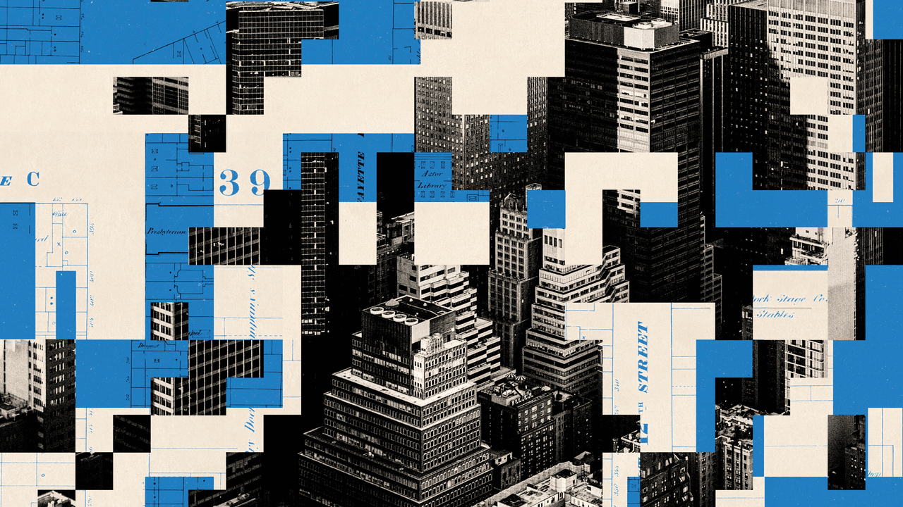
Maps become less perfect, even as they attempt to become more perfect. In Lewis Carroll’s “Sylvie and Bruno Concluded,” we learn of a map, described by an ambitious philosopher, that increases in scale bit by bit until it’s the same size as the terrain it represents. Unable to roll the map out, its creators cheerfully realize that the country itself can serve as its own map. Perhaps the most beloved map in recent decades was Saul Steinberg’s view of New York, initially a cover for this magazine. In the guise of a map, it captured a mentality: New Yorkers see anything beyond Eleventh Avenue as blank, uncharted wilderness. Steinberg’s point was not that his fellow New Yorkers were provincial but that all maps record a state of mind. (Indeed, on the Steinbergian map of today’s New York state of mind, many Brooklyn neighborhoods would loom as large as his West Side avenues did.)
Even the current redistricting battle reveals the constant paradox: we draw firm lines around a fluctuating reality. The intention in Texas, recently green-lighted by the Supreme Court, was to redraw the congressional map to make it easier for Republicans to win more districts, however absurd the boundaries. But the shifting allegiances of the people within those boundaries may thwart the designers’ aim. The Latinos grouped together who were expected to vote Republican may, after the mass mobilization of ICE and the implementation of other anti-immigrant policies, no longer do so. The map itself can’t capture the changing views of the people who populate it.
“The map is not the territory” is by now a truism, but the more important truth is that the territory is inarticulate without a map to know it by. Maps are the ideal metaphor for our models of what the world might be. A new political map of New York City awaits us—“slight left turn ahead,” as the G.P.S. lady would say, unless she pauses and issues an unsettling “recalculating” alert.
And so for the map of the country. We live in a time when the chart of the nation, its recognizable edges and worn paths, has been largely erased and replaced with one that calls to mind medieval maps, with misshapen horizons, weirdly distorted territories, and dragons lurking beyond the borders. The primary feeling that many of us currently experience is not merely distress but profound disorientation. We not only don’t like where we are; we don’t know where we are. Once reliable routes to reality have been cut off.
It helps to know where we’re going before we get there. If there is a consoling reflection in this season, it is that all good maps, like the digitized city map, turn out to be shared work, made by many hands over a long period of time. Drawing a plan of our plans is the necessary task of the approaching year, as an act of collective imagination and common hope. ♦