PHOENIX – The Phoenix metro area’s most extreme winter weather of the season has arrived with rain, hail, gusty winds and plummeting temperatures hitting the Valley.
Scattered showers began hitting the Valley around 1 p.m., followed soon after by hail, according to the National Weather Service (NWS).
We have received numerous reports of pea-sized hail across the Phoenix Metro area and around south-central AZ this afternoon. This is due to cold air aloft which is pushing into the region, causing freezing levels to fall to around 5000 feet. pic.twitter.com/OIhYzEaOaK
— NWS Phoenix (@NWSPhoenix) January 8, 2026
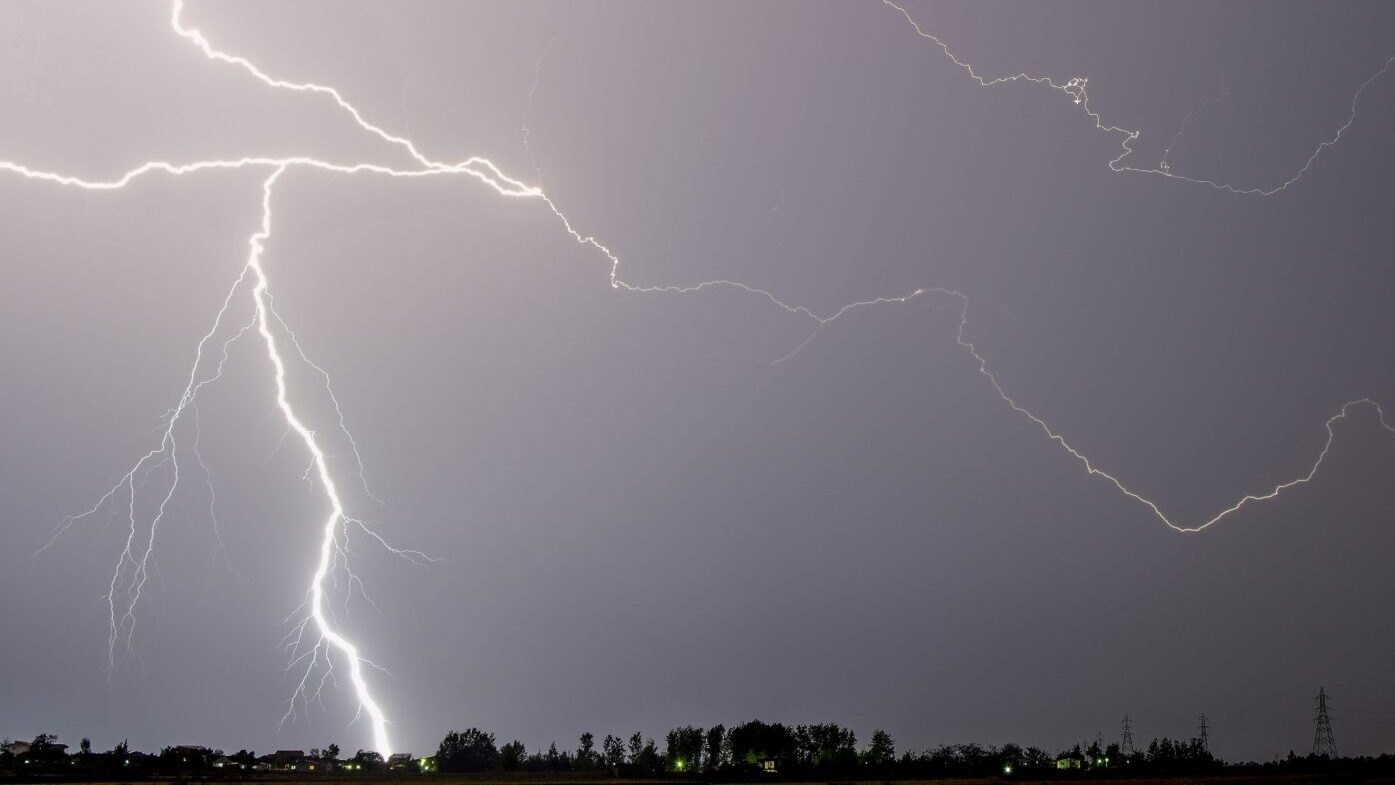
The storm activity is expected to continue until about 5 p.m. and feature short, heavy downpours, possible lightning, small hail and winds that could reach 30-35 mph, the NWS said.
This comes a day after parts of the Valley received light rainfall, mostly under 0.10 inches. Phoenix Sky Harbor International Airport, which the NWS uses for the city’s official readings, received 0.04 inches.
Just got done little hail around FLW/101 in Scottsdale pic.twitter.com/o47GpXPdC6
— Brad (@Brad__AZ) January 8, 2026
Why does Phoenix forecast include lightning, high winds, hail?
NWS meteorologist Gabriel Lojero told KTAR News 92.3 FM on Thursday morning that the atmosphere has become more unstable since Wednesday, increasing the chance for lightning strikes and wind gusts up to 35 mph.
“And then we may also be seeing some pea-sized hail, as well, given that the storm system that’s coming through is going to be much colder than the one we saw yesterday,” he added.
Here is a general timing of showers and isolated storms expected later today. For the Phoenix metro, the threat will be 1-5 PM MST, lingering across the areas south and east of Phoenix through early this evening. #azwx pic.twitter.com/540zYVY8QI
— NWS Phoenix (@NWSPhoenix) January 8, 2026
The good news is that the skies over the Valley should be mostly clear by Thursday evening, when the Fiesta Bowl is taking place at State Farm Stadium in Glendale.
“It’s not the same magnitude of impacts we see during a thunderstorm during the monsoon season, but still, if you’re driving around or going out and about outdoors, just make sure to be weather aware,” Lojero said.
How cold will it get in the Valley?
The storm system will leave the coldest temperatures of the season in its wake, prompting freeze watches for higher terrain areas on the outskirts of metro Phoenix over the next two mornings.
“We may be seeing lows in the lower 30s,” Lojero said.
However, a warming trend over the weekend is expected to lift temperatures back above normal by Sunday, when the Phoenix forecast calls for a high of around 70 degrees.
Meanwhile, the high country in northern Arizona is expected to receive snowfall for the second consecutive day on Thursday, with accumulations possible down to 5,000 feet of elevation.
Those winter storms and some related crashes caused several highways to close in northern Arizona on Thursday afternoon.
KTAR News 92.3 FM’s Ginia McFarland and Jeff Vinton contributed to this report.
We want to hear from you.
Have a story idea or tip? Pass it along to the KTAR News team here.
![]()