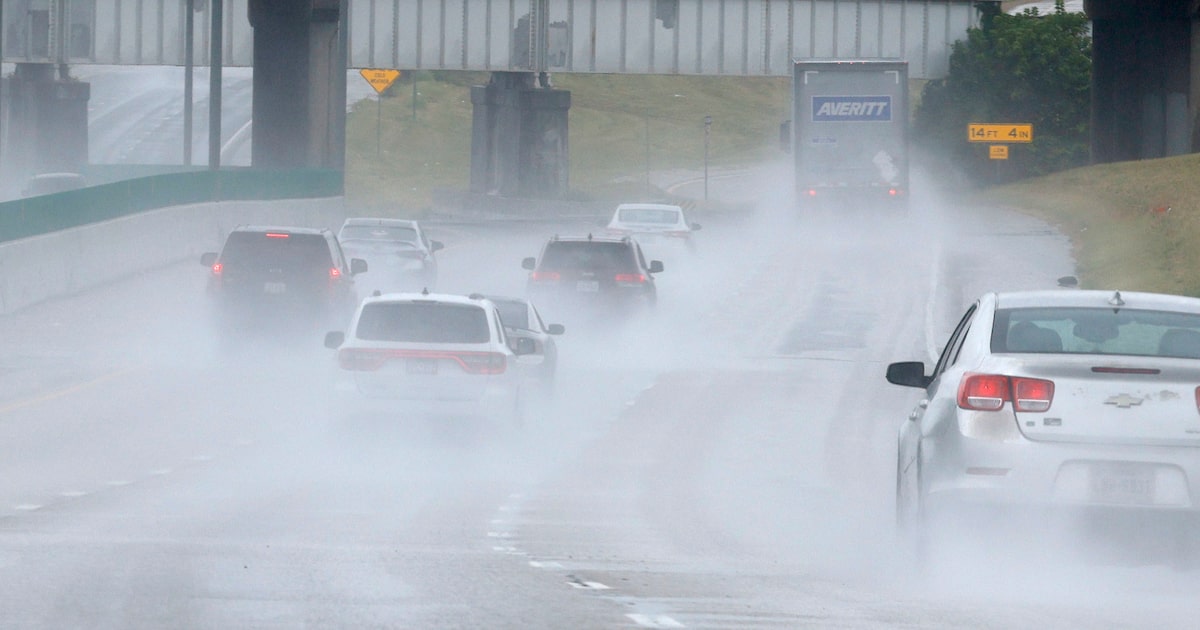
Showers are possible Wednesday morning for North Texas before more intense winter weather heads our way.
Rain chances were expected to jump at 3 a.m. Wednesday, and forecast to last through noon. According to the National Weather Service’s Fort Worth office, rainfall totals are not expected to be signficant.
Temperatures throughout the day should be mild, with highs in the low 60s at DFW International Airport. The sun is forecast to make an appearance in the afternoon, with mild winds.
Conditions should be close to normal for mid-January on Thursday, with highs in the low 60s again. A winter storm should start moving into North Texas Thursday night, with temperatures dropping steadily throughout the day Friday.
D-FW Weather Wise
Rain should also start early Friday morning, transitioning to freezing rain and sleet once the temperature drops below 32 degrees Friday evening. Winter precipitation should last through Saturday, and should end by Sunday.
Related
 The latest Dallas weather forecast from KXAS-TV (NBC5):
WEDNESDAY: A 40% chance of showers in the morning, otherwise mostly cloudy and a bit milder. High: 60. Wind: N 5-10 mph.
THURSDAY: Mostly cloudy. Low: 43. High: 59. Wind: E 5-10 mph.
FRIDAY: Turning blustery and colder with a 60% chance of rain. Temperatures will fall into the 30s by late afternoon. Rain changing to freezing rain and sleet during the evening. Low: 32. High: 44. Wind: N 10-20 mph.
SATURDAY: Quite cold with an 80% chance of a winter mix of freezing rain, sleet and snow. Low: 24. High: 27. Wind: N 10-20 mph.
SUNDAY: Partly cloudy and cold. Low: 15. High: 28. Wind: N 10-15 mph.