Published on Jul. 10, 2025, 12:21 PM
Severe weather shifts into eastern Ontario and southern Quebec, with heightened instability Thursday. Stay alert to heavy downpours, strong winds and large hail
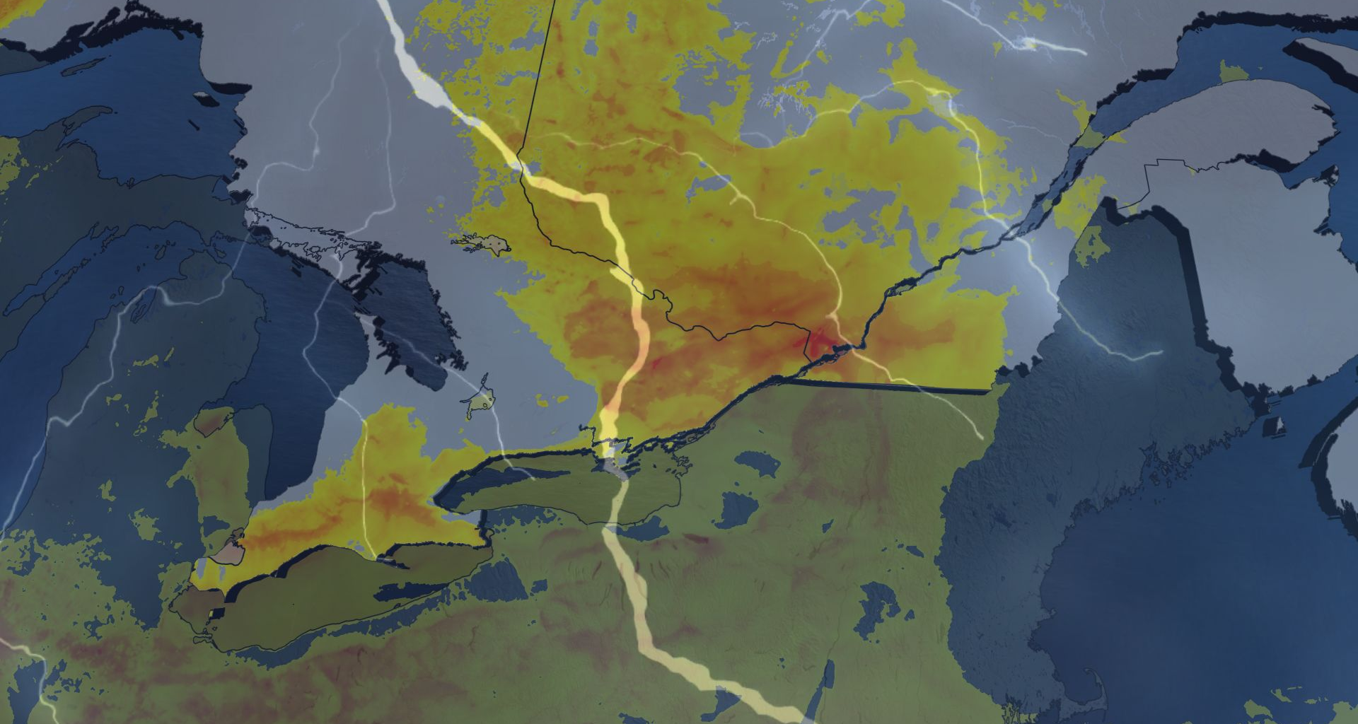
The severe weather risk returns Thursday for eastern Ontario and southern Quebec after a stormy Wednesday in southern Ontario, which included a tornado-warned cell and 50+ mm of rain for some.
Thursday brings a threat of widespread, scattered storms, with heavy downpours, 2-4 cm hail, and strong winds as the main hazards.
DON’T MISS: The Weather Network’s exclusive summer 2025 forecast
The Greater Toronto Area (GTA) won’t be in the clear, either, as there could be storms popping up there, too, but they should remain below severe warning criteria.
You’ll want to stay updated on the weather alerts in your area as conditions can change quickly when severe weather hits.
Thursday: Storm threat shifts east with risk for heavy downpours, large hail, and strong winds
A shift in storm activity is expected to bring unsettled weather to eastern Ontario and much of the St. Lawrence region, including Montreal and Quebec City, on Thursday.
Significant instability in the St. Lawrence Valley and abundant moisture spreading into the Laurentians may lead to localized flooding. Thunderstorm activity could produce 30-50+ mm of rainfall.