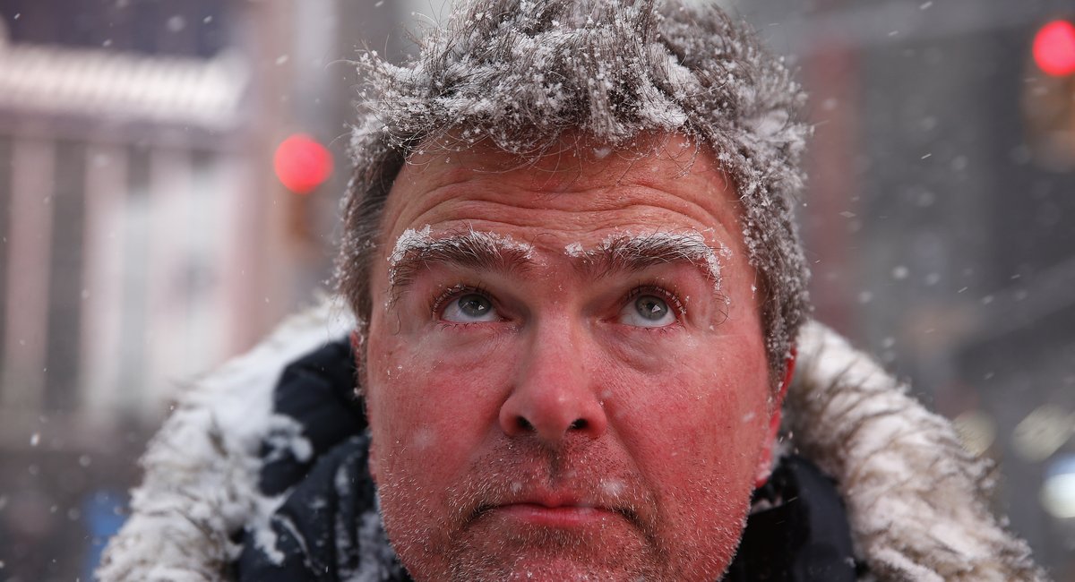
Dangerously cold weather will continue with temperatures that could feel close to or below zero this weekend, just days after at least 10 people were found dead outside following this past Sunday’s major storm.
A “bombogenesis” or “bomb cyclone” may bring a few inches of snow to the New York City area, but the National Weather Service says the chances of snowfall are trending downward as a rapidly intensifying low pressure system edges closer to the region.
“We’ve seen increasing trends in our model guidance that the storm is likely to pass just far enough offshore to mitigate the worst of the impacts of the New York City area,” said Dominic Ramunni, a meteorologist at the National Weather Service’s New York office. “In fact, it might be a dry day as the storm passes by, perhaps just a little bit of a wind or a few flurries or light snow showers around, especially on the day during the day on Sunday.”
Daytime air temperature will likely remain in the teens and lower 20s through Sunday. Temperatures will be particularly brutal in the early morning. So New Yorkers should stay bundled up, Ramunni said.
“It’s actually quite dangerous and as we’ve seen, unfortunately, folks who are out there and the elements exposed, have already lost their lives,” he said. “That’s why we’re always encouraging folks to dress in layers, limit your time outdoors, cover that exposed skin, the fingers, the neck, the ears, those are the first to really feel it if you’re out there for more than a few minutes.”
Ramunni said the New York City area hasn’t experienced a stretch of below-freezing temperatures this long in around eight years — a stark change from recent winters, which were “lackluster” in terms of snow and cold.
“We really don’t get these cold snaps that often, even in the dead of winter, which is what we’re in right now — we’re talking about high temperatures 15 to 20 degrees below normal for seven consecutive days,” he said. “That’s rather impressive in the meteorology field.”
Thursday night’s temperatures will get down to lows around 11 degrees, according to the National Weather Service. Windchills will make things worse, and temperatures won’t start warming up much until midway through next week, when the service expects highs to crack the 30-degree mark.
While that’s significantly lower than the usual average temperature of 40 degrees for this time of year, Ramunni said, it could give the snowpack from last weekend’s snowstorm a chance to start thawing.
“That said, we’re just about to enter February, which is known for some pretty brutal winter weather as well,” he said. “So certainly want to encourage folks to stay tuned, monitor the forecast as we go forward here in the next few days.”