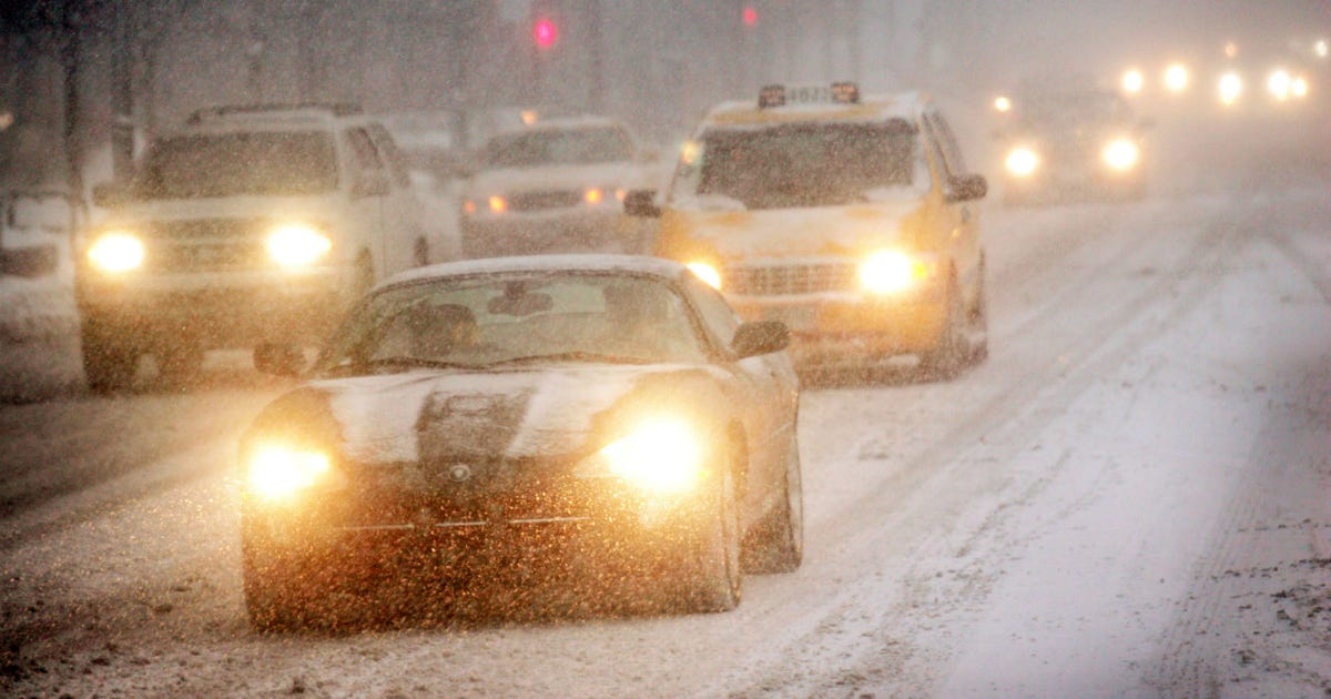
CHICAGO – Lake-effect snow continues to be the main worry today and tomorrow.
What we know:
Snow will begin around 9 a.m. in the Chicago area, likely focusing first in the northern suburbs and then spreading over much of our viewing area during the late morning into the early afternoon. Snow may fall at a briefly heavy rate during this time, leading to some travel difficulties. I expect roughly ½” to 3″ during this initial wave.
The next surge of lake-effect snow will likely be more focused and slide down the western lakeshore during the afternoon, impacting the commute in the city.
Heading into the evening hours, it will be northwest Indiana getting hammered by the lake-effect snow. A Winter Storm Warning will be in effect starting at 3 p.m. for Lake and Porter counties. These areas could easily get more than a half foot of snow between tonight and tomorrow.
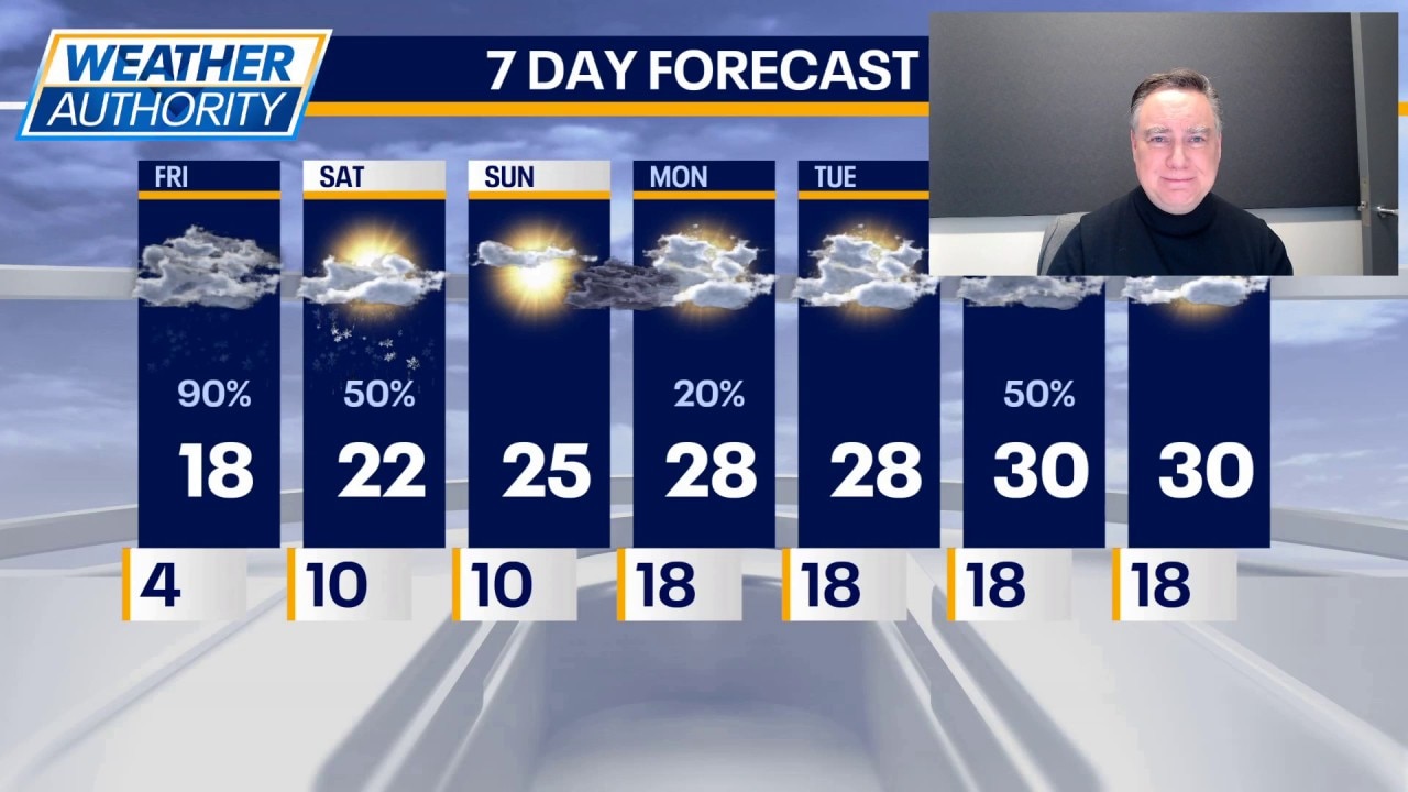
Highs today will be in the upper teens again. Lake-effect snow will continue tomorrow, possibly sloshing back to the Chicago side, but with less intensity. Nevertheless, there could be some travel impacts at some point tomorrow as the snow finally winds down during the late afternoon hours.
Most of Chicagoland will be in the 1 to 3 inch snowfall range with higher totals in proximity to the lake and especially in northwest Indiana.
What’s next:
Highs tomorrow will make it into the lower 20s. On Sunday it will be partly sunny with a chance of a snow shower or flurry, but at this point any accumulation would be minor or nothing.
Highs will be in the mid 20s on Monday and Tuesday we’ll see temperatures climbing ever so slightly into the upper 20s. Starting Wednesday we might actually tag the 30° mark with a chance for light snow.
The Source: The information in this forecast came from FOX Chicago’s Mike Caplan.