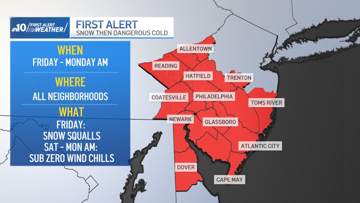
Big changes are on the way for the end of the week and into the weekend as an arctic cold front will bring a drop in temperatures and the chance for snow squalls.
We’ve issued a First Alert that will begin on Friday, Feb. 6 and last until Monday, Feb. 9 due to the snow expected Friday followed by the dangerous cold that will last through early Monday morning.

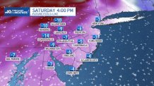
An arctic cold front will bring snow squalls Friday evening into the night.


Not everyone will see snow but those who do can expect rapidly reduced visibility during the squall followed by a coating or an inch of snow.
Weather Stories
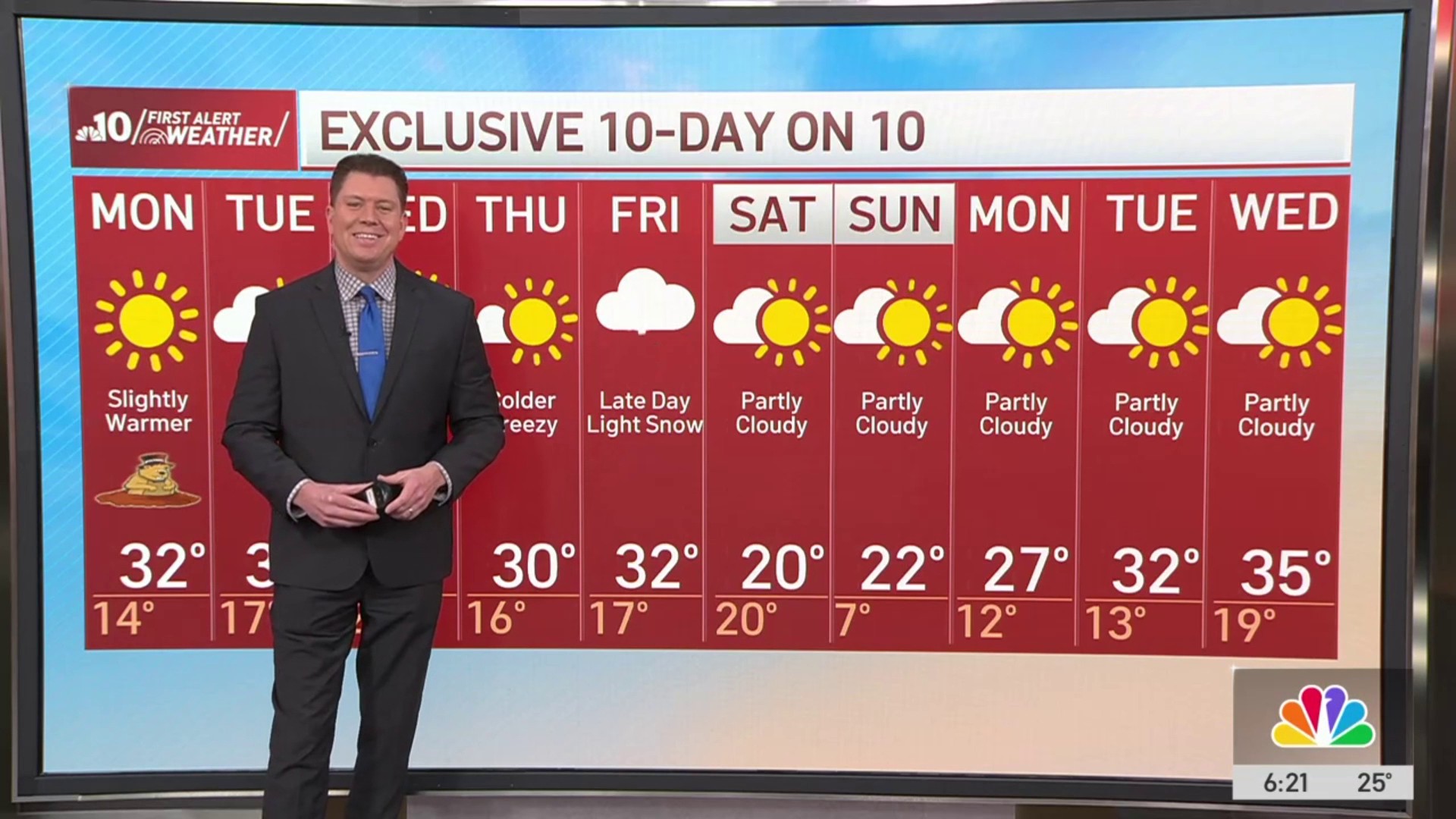
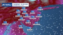
Then, bitter cold will arrive for the weekend.
Saturday will be blustery with wind gusts reaching 40 m.p.h. as wind chills will fall during the day to sub-zero values.

The core of the cold arrives Saturday night into Sunday morning as some wind chills be as cold as negative 20 degrees.
What is a snow squall?
Snow squalls are more intense versions of snow showers that are commonly known as “white outs” because of the lack of visibility.
According to the National Weather Service, a snow squall moves into and out of an area quickly in under an hour.
Squalls can make for very dangerous conditions for anyone out and traveling.
If you experience a snow squall while driving, officials say to slow down if you can’t stop, turn on your blinkers as well as your headlights and leave plenty of space between your car and the vehicles in front of you.