CBS News Live

CBS News Texas
Live
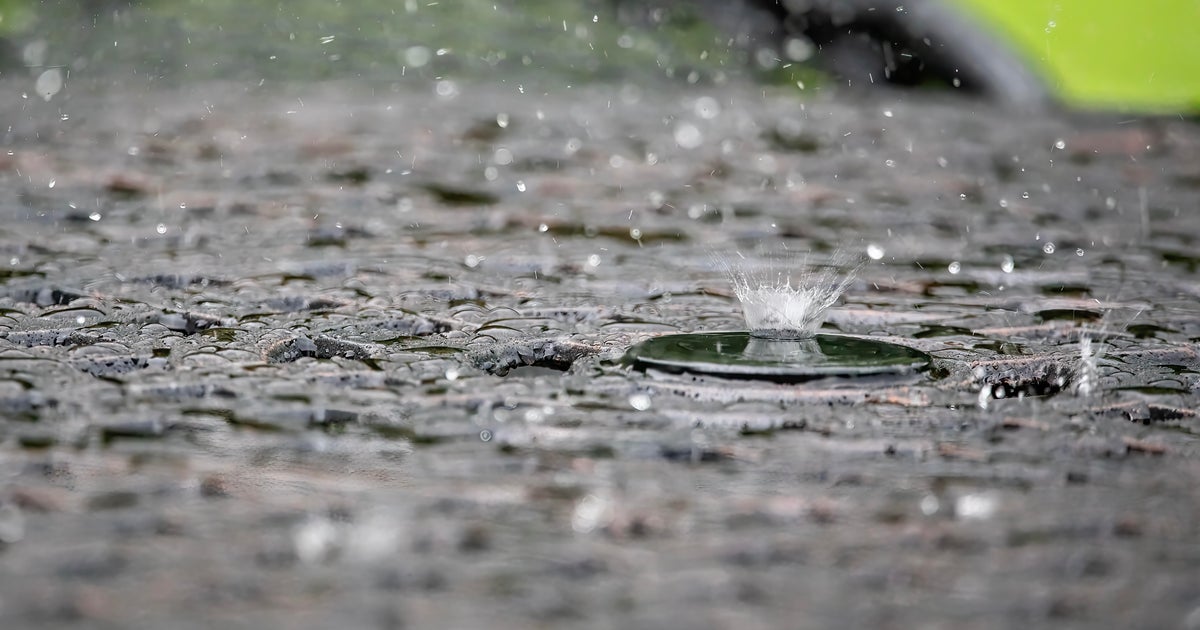
Scattered thunderstorms were ongoing on Saturday evening. This activity is expected to continue overnight and throughout Sunday.
While not a washout for the area, where storms do set up, they are carrying abundant moisture, leading to rain rates as high as 2″ per hour in some spots.
For this reason, the National Weather Service has issued a Flood Watch for much of our area. This is in effect through Sunday evening.

CBS News Texas
Expect a few spotty storms overnight and Sunday morning, with increasing coverage into Sunday afternoon as a result of daytime heating.

CBS News Texas
Storms look to stretch southwest of us, also impacting parts of Central Texas, in areas where cleanup is ongoing following the deadly flooding for that area last week.
Be sure to have multiple ways to receive weather alerts, and if you live in a flood-prone spot, be especially mindful if storms roll over your area.
The First Alert Weather team has called a First Alert Weather Day for Sunday, for threats of localized flooding.
This storm activity looks to gradually decrease in coverage into Monday, with just isolated shower chances as we kick off the new workweek.
By Tuesday, we start to dry out and heat back up, with highs returning to the middle 90s by midweek, which is right near normal for this point in the year.
More from CBS News