PHOENIX (AZFamily) — It’s a First Alert Weather Day for an active day of monsoon storms across the state. Tomorrow is also a First Alert Day for continued storm chances.
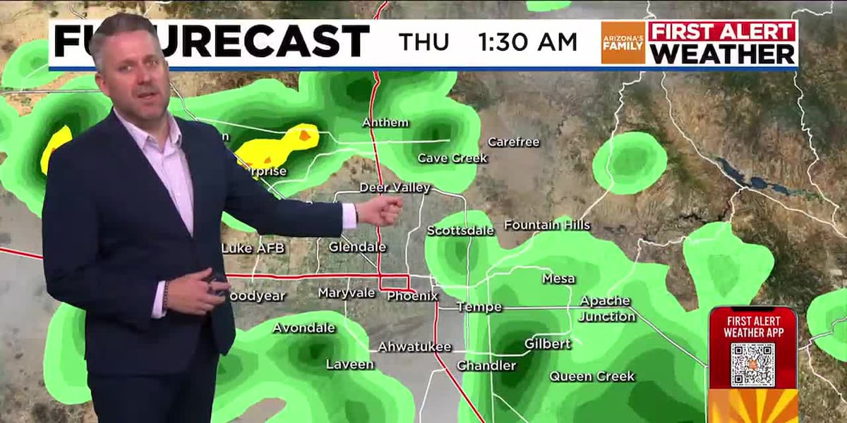
Parts of the Valley awoke to thunderstorms and showers this morning. Storms from late last night south of town pushed their way into the Valley, bringing a few showers likely to end by mid-morning. Look for a 30% chance of showers today, with the best chance late tonight into early Thursday morning.
Temperatures will peak near just 101 degrees today in the Valley under partly sunny skies. The cloud cover may inhibit storm chances today across the deserts of the state, including the Phoenix area. Temperatures climb to just 102 degrees on Thursday, when storm chances are similar, near 30 to 40% at most.
It’s still expected to be an active couple of days across the higher elevations of our state, including near the Dragon Bravo Fire burning near the North Rim of the Grand Canyon. Storm chances are near 50% there today and near 70% tomorrow. Gusty outflow winds are a concern both days.
Drier air is expected to move into Arizona over the weekend, limiting storm chances to just the higher elevations. Even in the mountains, storm chances drop to just 20% for the weekend.
Temperatures head back to near normal for the weekend in the Valley, with highs near 107 to 108 degrees.
See a spelling or grammatical error in our story? Please click here to report it.
Do you have a photo or video of a breaking news story? Send it to us here with a brief description.
Copyright 2025 KTVK/KPHO. All rights reserved.