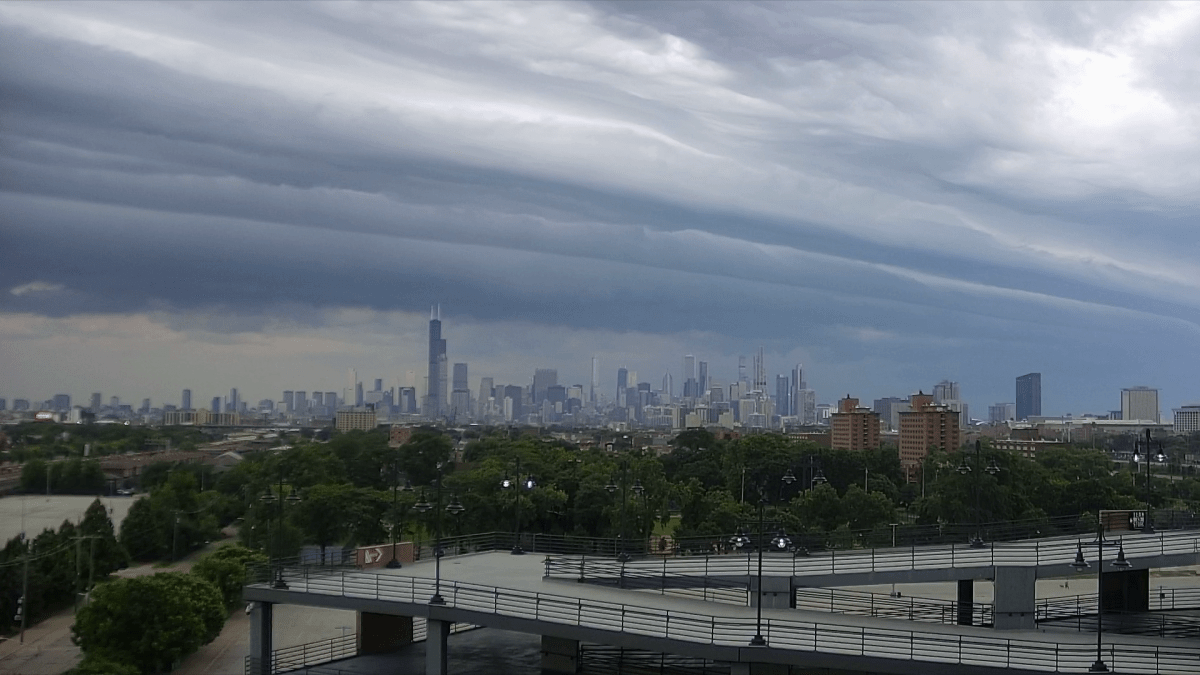
After a couple of days of cooler temperatures and mostly overcast skies in the Chicago area, humidity and likely thunderstorms are returning to the region to start the weekend.
Temperatures are already in the upper 70s in the mid-morning hours across the region, with cloudy skies that will likely turn darker as a line of storms approaches the area.
The mercury won’t climb much throughout Saturday, with highs likely to top out in the low 80s through the afternoon hours, when thunderstorms are expected.
According to the National Weather Service, the line of storms will move east across the northern half of Illinois, with western parts of the state being impacted first, likely between 9 a.m. and noon.
The vast majority of the Chicago area is expected to be hit by the line of storms between 11 a.m. and 2 p.m., in a stretch covering nearly the entire metropolitan area and much of the rural areas to the southwest of the region.
A line of storms is expected to track across the north half of IL late this morning into the afternoon. This line of storms may be in a weakening trend through mid-morning, but begin to re-intensify late this morning. Damaging winds and torrential rainfall will be the main risk. pic.twitter.com/12CMVZ113G
— NWS Chicago (@NWSChicago) July 19, 2025
From there, much of northwest Indiana is then expected to be hit by storms from between noon and 4 p.m.
While the NWS Storm Prediction Center’s convective outlook assessed damaging winds, hail and torrential rainfall as the primary threats, a 2% chance of a tornado remains in the region for this line of storms.
Additionally, those south of Interstate 80 could see more storms Saturday evening leading into tomorrow morning.
A chance of thunderstorms persists on both Sunday and Monday, though the greatest chances of being impacted by them remains in the southwest parts of the Chicago area.
From there, dangerously hot and humid temperatures are likely to return by Wednesday and Thursday, with highs in the low-to-mid 90s as heat indices are expected to top 100 degrees.
Another round of possible thunderstorms approaches the region next weekend, though hot temperatures are likely to stick around then.