Despite a dry, yet cold start to the month, the drizzly conditions are due to roll in, potentially bringing multiple wet days to Sydney and Brisbane as onshore winds mix with abnormally warm sea temperatures.
Those conditions are set to change as a high-pressure system moves across the Tasman Sea, bringing easterly winds towards the east coast.
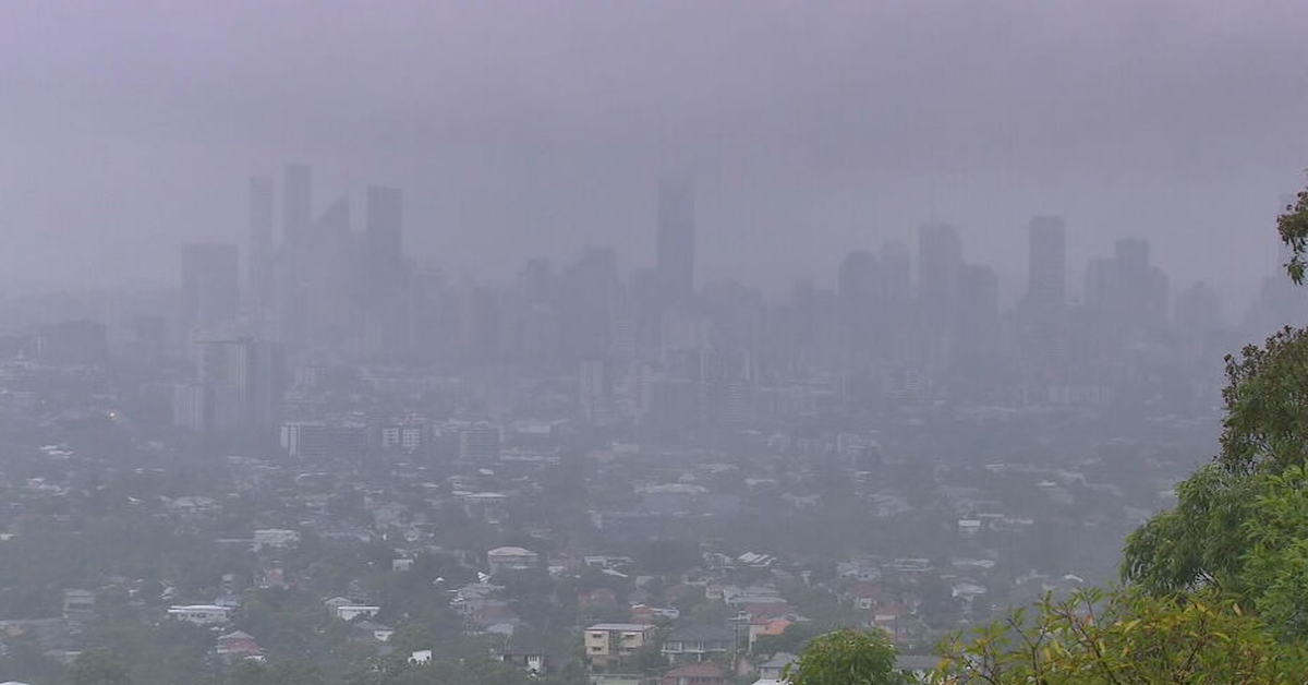
 The view of Brisbane city from Mt Coot-tha on Sunday, barely visible through the rain. (Nine)
While the weather pattern is not expected to bring widespread rain or heavy conditions, it is expected to extend to parts of Queensland and NSW.
These conditions are caused by the warm water off the east coast, causing a higher chance of rainfall.
The Bureau of Meteorology has issued a hazardous surf warning for the Hunter Coast and Sydney Coast today, stating that surf and swell conditions are expected to be hazardous for water activities such as swimming, fishing and boating.
Strong wind warnings are also in place today for NSW’s Eden Coast.
In Queensland, strong marine wind warnings have been issued for the Peninsula Coast, Cooktown Coast and Cairns Coast.
Those warnings are set to remain in place until tomorrow.
The conditions come a week after a polar blast across the nation’s south-east brought year-low temperatures and snow to several states.
NEVER MISS A STORY: Get your breaking news and exclusive stories first by following us across all platforms.