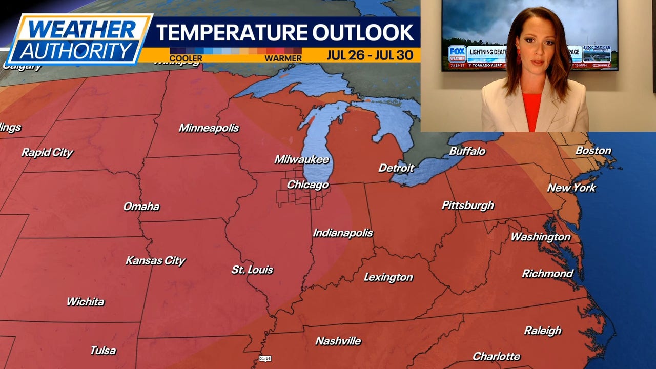
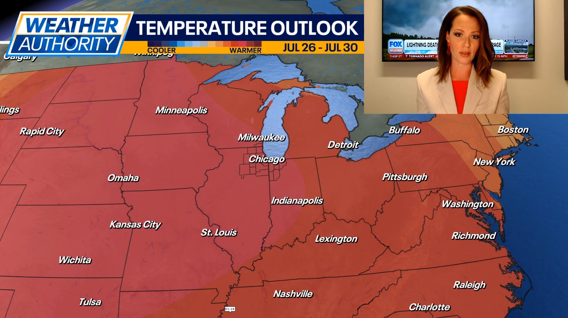
CHICAGO – It was a cool Sunday with highs in the 70s. A gradual warming trend is expected Monday and Tuesday, and then we’ll likely be dealing with dangerously hot conditions by Wednesday and Thursday.
Full Forecast:
Scattered showers and thunderstorms are moving through parts of Chicagoland this evening. The environment will be supportive of funnel clouds through sunset, mainly in far southern LaSalle County, and possibly southern Newton and Jasper Counties. Following the evening showers, the rest of the night will be mostly cloudy with lows in the mid 60s.
We’re expecting a pleasant start to the workweek with partly cloudy skies and highs in the low to mid 80s on Monday. Tuesday will be warmer with high temperatures climbing into the upper 80s under partly cloudy skies.
Wednesday and Thursday are expected to be very hot with highs in the mid 90s. A few spots may even warm into the upper 90s. With dew points rising into the 70s to near 80 degrees, heat indices may climb as high as 105-115. Wednesday will likely stay dry, and then a chance for showers and storms returns on Thursday.
While Friday will be cooler than Wednesday and Thursday, it’ll still be hot with highs around 90 degrees. Scattered showers or storms are possible on Friday, and we could see a few rain chances lingering into the upcoming weekend.