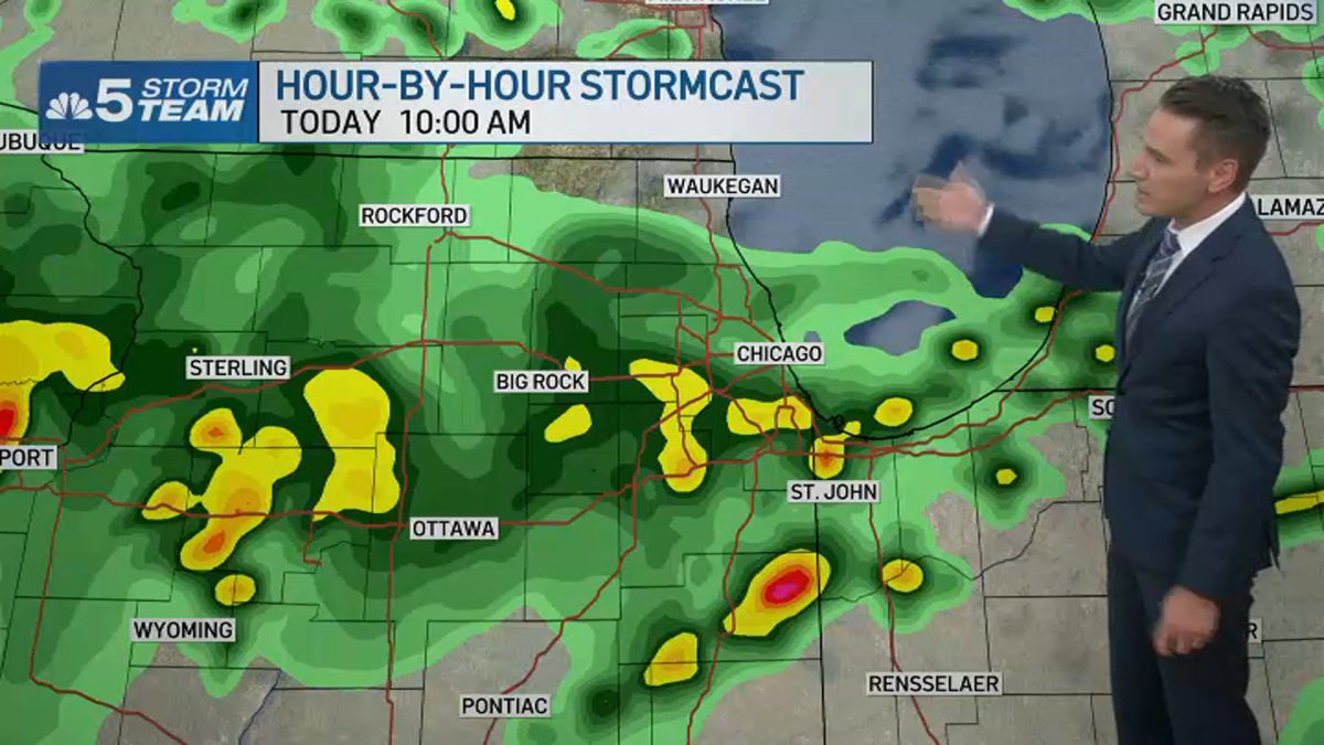
For the third day in a row, the Chicago area is under a threat for severe weather, with multiple rounds of storms possible in the region Saturday.
The biggest threat for severe storms will come Saturday afternoon and evening, but there will be chances for earlier systems to move through, all of which “have the potential for torrential rainfall and flash flooding,” according to the National Weather Service.
The first round could spark before 12 p.m. mainly along and south of Interstate 88, while the second comes between 1 p.m. and 9 p.m.
Torrential downpours with flash flooding and damaging winds are all possible, particularly for areas south of Interstate 80.
“Some in the afternoon may produce damaging gusts and have torrential rain. Localized flooding will be possible in areas that see multiple rounds of storms,” the NBC 5 Storm Team reported.
Nearly all of the Chicago area was under a flash flood watch through Saturday evening.
The watch was issued for the following counties until 7 p.m.:
- De Kalb
- Kane
- DuPage
- La Salle
- Kendall
- Grundy
- Northern Cook
- Central Cook
- Southern Cook
- Northern Will
- Southern Will
- Eastern Will
- Lake (Indiana)
The NWS urged residents to “have multiple ways to get weather alerts.”
The Saturday storms follow similar threats both Thursday and Friday, which led to ground stops at area airports, massive power outages and dangerous flooding scenes across the region.
Periodic thunderstorms are likely to persist through the weekend before heat and humidity return to start next week, with highs climbing back into the 90s by Sunday.
A couple rounds of showers and storms are expected today. While all storms will have the potential for torrential rainfall and flash flooding, strong to severe storms are possible this PM with a threat of damaging winds. Have multiple ways to get weather alerts! #ILwx #INwx pic.twitter.com/TlG6xtPsWX
— NWS Chicago (@NWSChicago) July 26, 2025