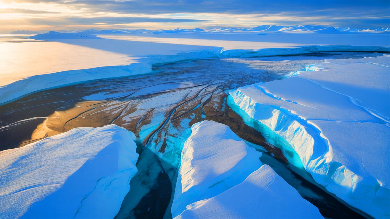
- 🌍 Scientists have discovered ancient, river-carved landscapes hidden beneath the East Antarctic Ice Sheet.
- 🧊 These preserved surfaces act as natural barriers, influencing the flow of glaciers and potentially moderating ice loss.
- 🔬 The research, led by Durham University, utilized radar data to map these features, revealing their vast extent and impact on ice dynamics.
- 🌡️ Understanding these landscapes is crucial for improving predictive models of future sea-level rise in response to climate change.
Recent discoveries beneath the vast, icy expanse of Antarctica have uncovered a hidden world that could reshape our understanding of ice flow dynamics and future sea-level predictions. A team of researchers from Durham University and other global institutions has identified ancient landscapes beneath the East Antarctic Ice Sheet. These landscapes, shaped by rivers millions of years ago, are now influencing the movement of glaciers, potentially altering how we forecast ice loss and its impact on global sea levels. This groundbreaking research offers a new lens through which to observe the frozen continent’s past and its implications for our warming world.
Revealing the Ancient River-Carved Surfaces
The ancient landscapes discovered beneath the East Antarctic Ice Sheet extend over an impressive 2,175-mile stretch along the continent’s coast. These flat surfaces, believed to have been sculpted by rivers before Antarctica became ice-covered around 34 million years ago, now lie buried under the ice. The research team utilized radar data to map these features, revealing their vast expanse and intricate details.
What makes these surfaces so significant is their influence on current glacier flow. While deep troughs guide the movement of fast-flowing glaciers, the flat areas act as natural barriers, slowing down the ice flow. This discovery suggests that these surfaces could play a crucial role in moderating ice loss, providing new insights into predicting future changes in sea levels. Incorporating these findings into predictive models can enhance our understanding of how the East Antarctic Ice Sheet may respond to climate change, offering a more accurate assessment of potential sea-level rises.
A Remarkably Preserved Landscape
The preservation of these landscapes is nothing short of remarkable. For over 30 million years, these surfaces have remained largely undisturbed, suggesting that the ice sheet has protected rather than eroded the terrain beneath. Dr. Guy Paxman, the lead author of the study, highlights the enigmatic nature of this sub-ice terrain, noting that its preservation offers a unique glimpse into Earth’s geological history.
These flat surfaces, which span roughly 40% of the East Antarctic Ice Sheet’s coastal region, provide critical insights into the dynamics of ice flow. Understanding their shape and geological features is key to improving our ability to forecast the ice sheet’s behavior in response to different climate scenarios. This research not only unravels the mysteries of the past but also equips scientists with the knowledge needed to predict future changes more accurately.
International Collaboration and Methodology
This pioneering study is a testament to the power of international collaboration, involving experts from universities and research institutions across the globe, including the UK, Germany, and China. By pooling resources and expertise, the team was able to piece together the jigsaw puzzle of data to reveal the bigger picture of how these ancient landscapes formed and their impact on current ice dynamics.
The methodology involved analyzing radar data to map the ice thickness and underlying features. By doing so, researchers could identify the flat surfaces and their distribution beneath the ice. This comprehensive approach not only deepens our understanding of the East Antarctic Ice Sheet but also sets the stage for further exploration. Future studies aim to drill through the ice to retrieve rock samples from these surfaces, providing a more detailed timeline of their history and helping to predict how the ice sheet will evolve in a warming world.
Implications for Climate Change and Sea-Level Rise
The implications of these findings are far-reaching, particularly in the context of climate change and sea-level rise. If the East Antarctic Ice Sheet were to melt entirely, it could raise global sea levels by up to 170 feet. Understanding the role of these river-carved surfaces in moderating ice flow is crucial for developing accurate predictive models.
As global temperatures rise, the stability of the East Antarctic Ice Sheet becomes increasingly uncertain. By incorporating the influence of these ancient landscapes into climate models, scientists can better predict how the ice sheet will respond to warming and the subsequent effects on global sea levels. This research is a critical step toward a more comprehensive understanding of Antarctica’s role in the climate system and highlights the urgent need for continued exploration and study.
The discovery of hidden landscapes beneath Antarctica’s ice offers a new perspective on the continent’s geological history and its implications for future sea-level changes. As researchers continue to explore these ancient terrains, the knowledge gained will be invaluable in shaping climate policy and mitigation strategies. How will this newfound understanding of Antarctica’s past influence our approach to addressing the challenges of climate change in the coming decades?
This article is based on verified sources and supported by editorial technologies.
Did you like it? 4.6/5 (28)