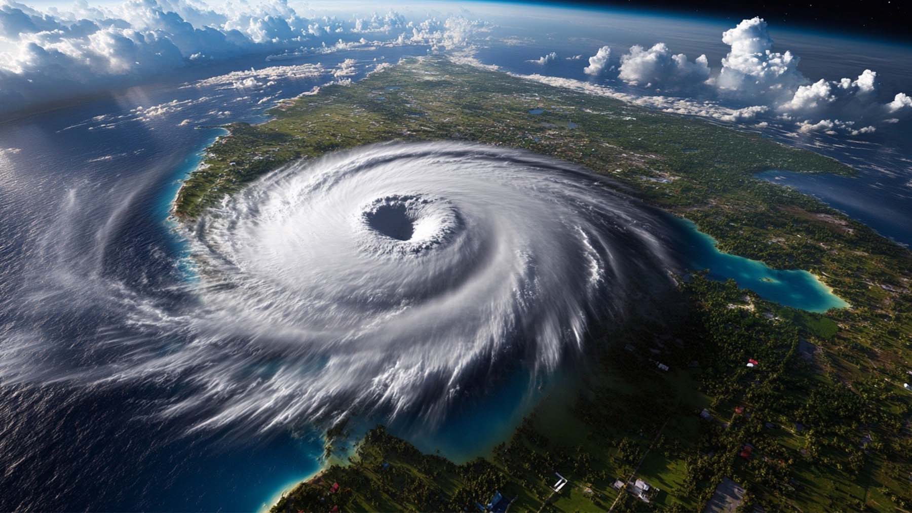
Storms have been really quiet so far this year, but that might not last much longer. Meteorologists announced cyclones as the Atlantic hurricane season is entering a new phase, and the signs are very hard to ignore.
The tropical Atlantic, especially the Caribbean Sea and the Gulf of Mexico. Water temperatures are already running hotter than usual for this time of year, and this is important because warm water is what gives cyclones their power. Right now, there’s no shortage of fuel.
Michael Lowry, a hurricane specialist, says water temperatures are higher than the average in the Main Development Region, the zone between Africa and the Caribbean, where most big storms are born. From the coast of Africa to the Gulf of Mexico, the sea temperature is well over the 26.5 °C threshold hurricanes need.
Meteorologist Phil Klotzbach from the Colorado State University confirmed that conditions across the Atlantic are “sufficiently warm” to support storm development. And Brian McNoldy at the University of Miami echoed that, saying the necessary heat is already in place from Africa to the Gulf.
Even near Miami, waters are off the charts; a buoy near Virginia Key recently recorded 90 °F (32.2 °C). That’s more than enough to support stronger storms.
It takes more than warm water to form hurricanes
Despite all that ocean heat, one big thing has been holding back storm formation: wind shear. Which is when winds blow in different directions and speeds at different heights, and that can pull a storm apart before it even has a chance to form.
For most of the summer so far, strong upper-level winds that come mostly from the west have been doing just that. According to Klotzbach, these winds have been too disruptive for tropical systems to take shape.
But things are changing. Fast.
One key reason is the Madden-Julian Oscillation, or MJO, a big weather pattern that moves around the tropics and affects storm activity. It’s now shifting into a phase that could create better conditions for hurricane development.
“We should soon be entering MJO phases 1 to 3,” said Klotzbach, which typically brings lower wind shear and better chances for storms to form.
Andy Hazelton, also from the University of Miami, says we’re already starting to see wind shear letting up, especially now that the MJO is moving closer to Africa. If the forecast models are right, the upper-level winds could soon create better conditions for storms to form than we’ve seen in the past few years.
August: high peak season
Basically, we’ve had warm water sitting and waiting, and now the atmosphere is starting to line up too. That’s often when things start to move quickly. And with August already here, we’re getting into the part of the season that historically brings the most activity.
According to NOAA, the tropical Atlantic is among the warmest it’s been in decades for early August. The Caribbean Sea and Gulf of Mexico are especially warm, which could lead to storms forming and intensifying much faster than usual.
We haven’t seen many systems yet, but experts are saying that could change any day now.
Experts are on the watch for cyclones
Still, just having warm water and low wind shear doesn’t mean cyclones are guaranteed. Other pieces of the puzzle need to come together.
As Hazelton explained, parts of the Atlantic have been pretty dry and stable lately, and that can stop storms from forming, even when the rest of the conditions seem just right.
But overall, the setup is looking more and more active by the day. We could be in for a busy stretch between now and the end of September.