PHOENIX (AZFamily) — Temperatures have already made it up to 110 on Saturday afternoon, making it the 14th consecutive day of 110 or higher.
We will likely add a few more days to this streak over the coming days. An Extreme Heat Warning is in effect through Tuesday evening.
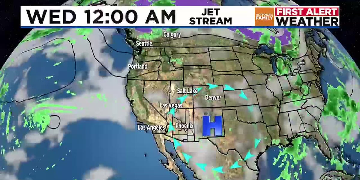
It will be a warm evening with lows dropping to around 90 overnight in Phoenix. Similar to Friday night, some gusts of 25 mph are possible later this evening into the nighttime hours. A few showers and thunderstorms are possible in southeastern Arizona, and it’s possible some gusty outflow winds from those potential storms could make it into parts of Pinal County.
Another hot day is on the way for Sunday with a high around 110. Similar to Saturday, dew points will be in the 50s and 60s, making it feel a bit humid at times. It will stay hot on Monday and Tuesday with highs between 110 and 112.
After highs around 110 on Wednesday, we may be able to slip below 110 on Thursday and Friday with some potential moisture returning. This moisture will bring a slight chance of showers to the Valley, but it’s too early to get our hopes up. By Saturday, temperatures may dip back to around 105, but that part of the forecast is not set in stone.
For the high country this weekend, scattered showers and thunderstorms are forecast for southeastern Arizona, with a few isolated showers and storms possible into the central mountains.
See a spelling or grammatical error in our story? Please click here to report it.
Do you have a photo or video of a breaking news story? Send it to us here with a brief description.
Copyright 2025 KTVK/KPHO. All rights reserved.