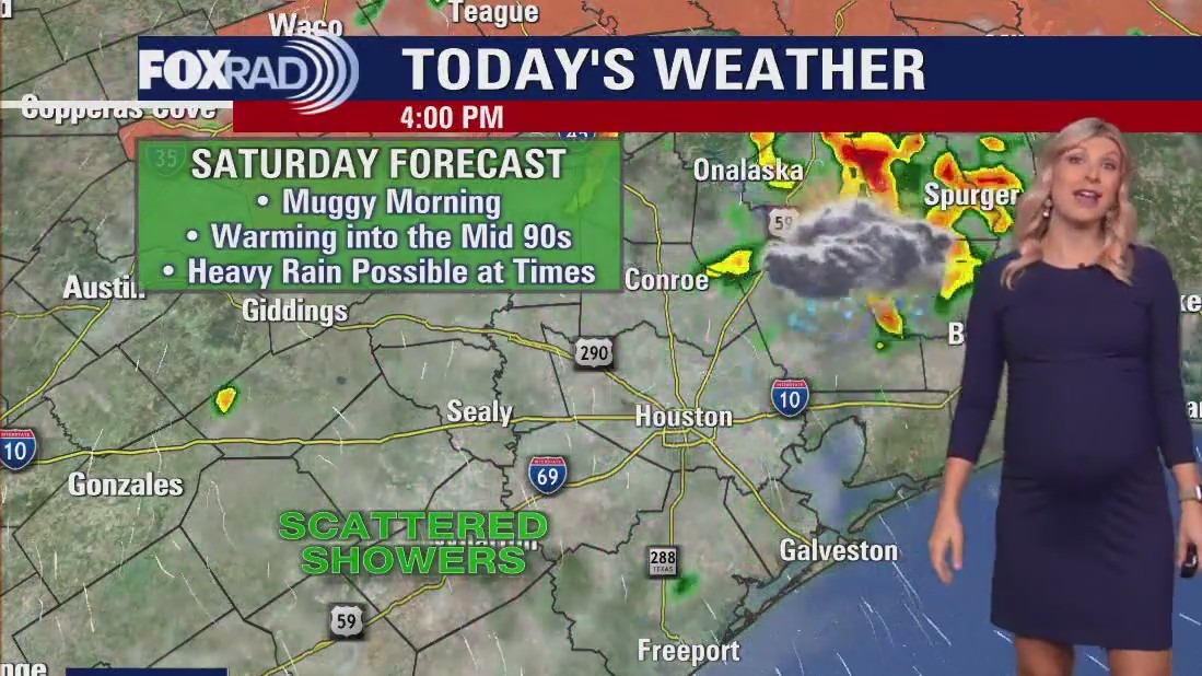
HOUSTON – Tropical moisture in the area could lead to scattered heavy storms on Saturday.
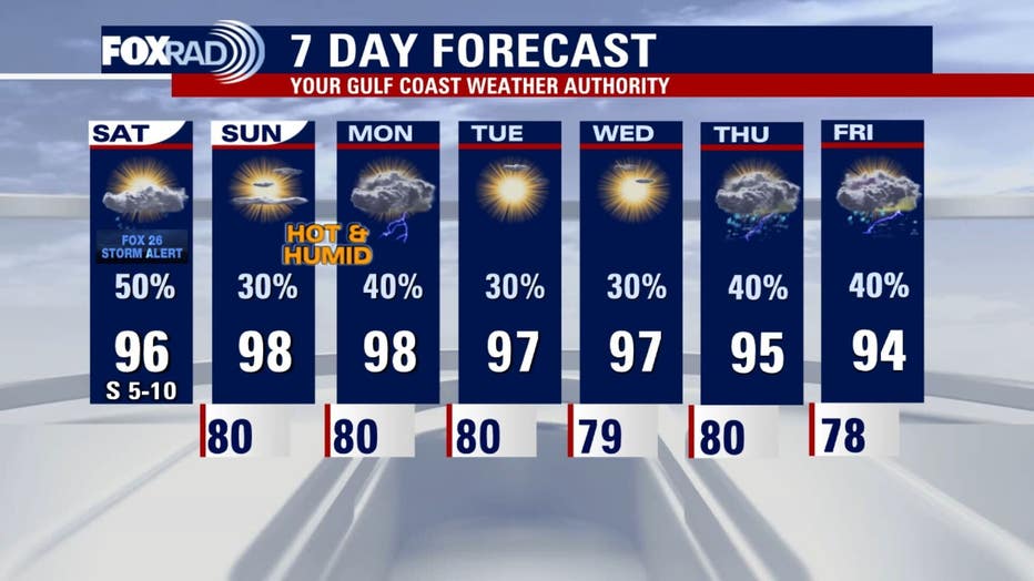
Beginning Sunday and continuing through all next week, look for hot and humid summer air with highs in the mid to upper 90s.
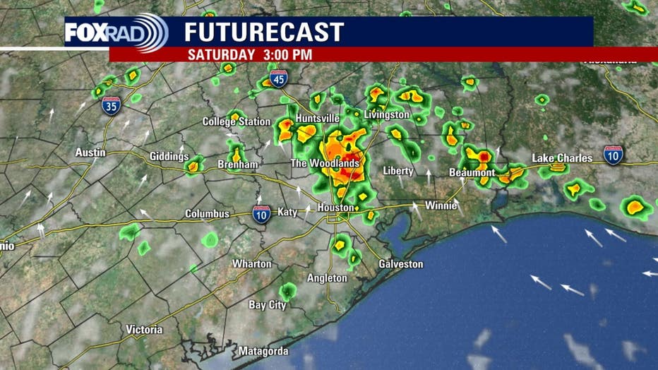 Gulf low brings rains to Texas
A plume of tropical moisture is still in place for our area.
Be aware that scattered heavy storms are possible for Saturday with isolated amounts above 2 inches.
It’s difficult to know the exact timing and location, but be prepared if you are headed to the Texans pre-season game because storms could be in the area.
Finally, if you are headed to the beach, rip currents are likely.
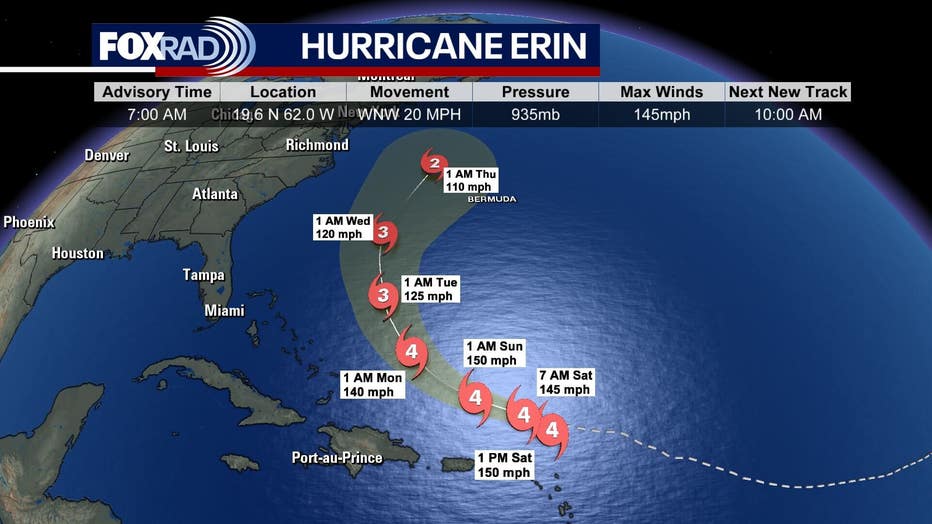 Erin continues to strengthen
Hurricane Erin has reached major hurricane strength and will continue to get stronger through this weekend.
The system is far away from Texas and will have no effect on our area.
It will stay north of the Caribbean, but wind and high waves will affect the Virgin Islands, Puerto Rico and the Leeward Islands.
The hurricane-force winds will mainly pose a risk to Bermuda while bringing larger waves to the beaches from Florida to New England.
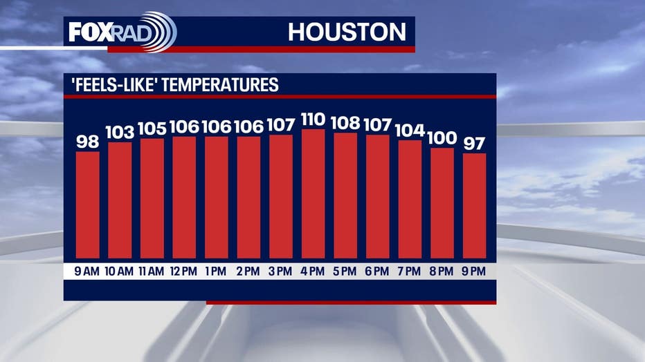 Hot, showery pattern
Beginning Sunday and continuing through all of next week, look for hot and humid summer air with highs in the mid to upper 90s.
Feels-like temperatures will stay well into the triple digits.
The outlook is a bit random with a daily round of afternoon showers and storms expected, but with periods of hot sunshine in between.
Our extended models are very mixed with timing and coverage of rain, but isolated afternoon storms make sense in this pattern.
The Source: Information in this article comes from FOX 26 meteorologist Allison Gargaro.
