Scattered storms Thursday as Philadelphia region gets some relief from heat wave
Scattered storms Thursday as Philadelphia region gets some relief from heat wave
04:07
We made it! After several record-breaking days with excessive heat in the Philadelphia region, including the first day about 100 degrees in nearly 13 years, we’ve turned the corner and temps will be back down into the reasonable range for this time of year.
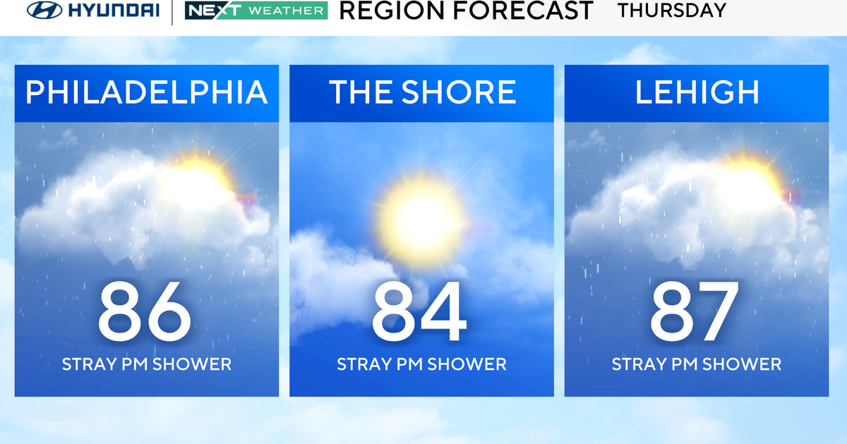
Expect temperatures to be back into the mid-upper 80s for many locations around the Delaware Valley on Thursday as the overall weather pattern shifts, bringing more cloud cover and the chance for pop-up showers and storms.

CBS News Philadelphia
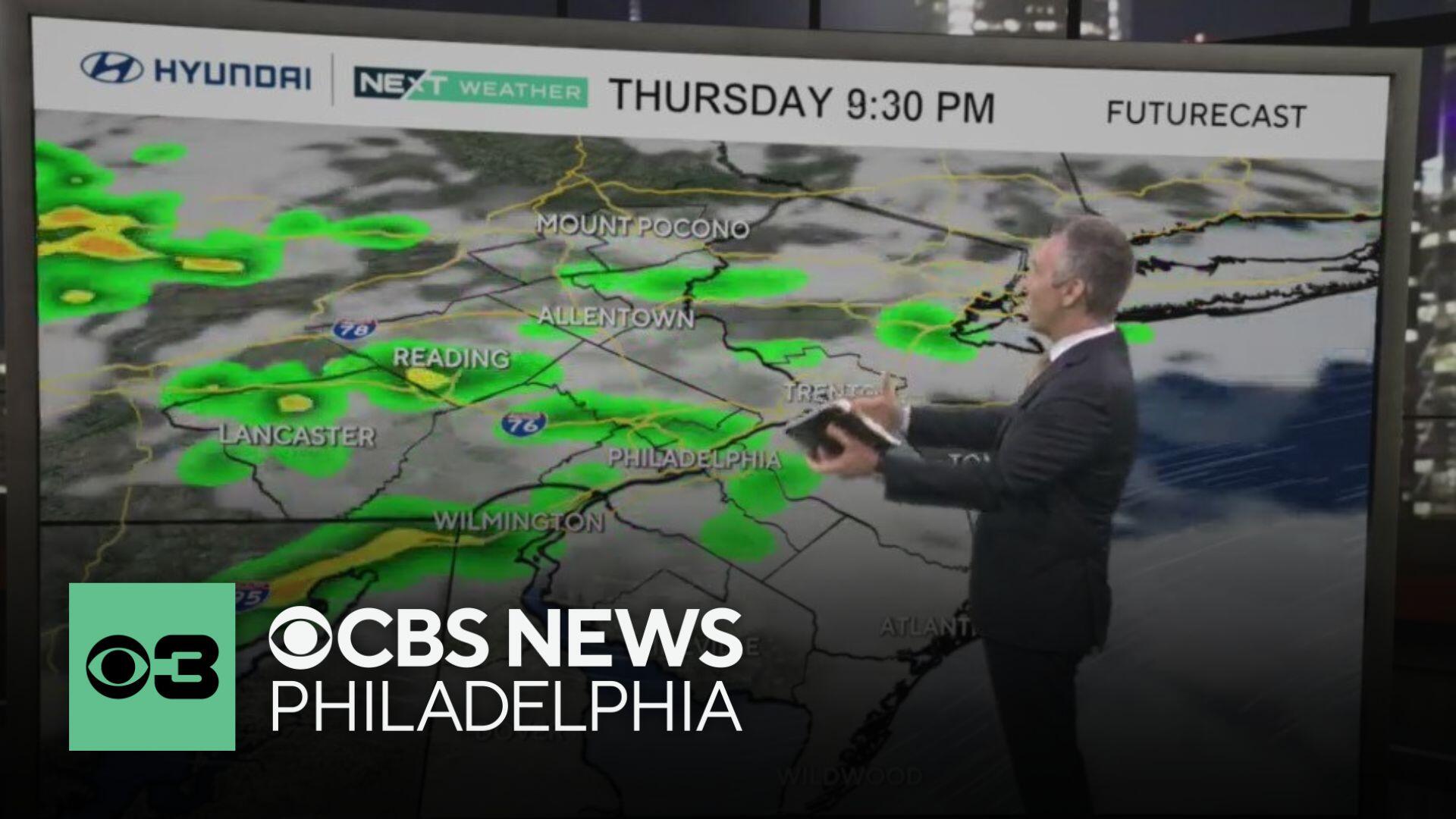
The Storm Prediction Center has much of the area under a non-severe thunderstorm risk, with the exception of parts of South Jersey and Delaware, where a level 1 risk is in place with the potential for gusty winds.
Friday is much cooler and cloudy with highs struggling to rise through the 70s. While it looks a bit cloudy and dreary, it’ll be some nice relief from the heat.
Then we have more seasonable early summer weather to look ahead to for the weekend, although the pattern will remain quite unstable with passing showers and storms possible each day.
Here’s your 7-day forecast:

CBS News Philadelphia
Thursday: Scattered storms. High 86, Low 77.
Friday: Much cooler. High 73, Low 67.
Saturday: P.m. thunderstorm. High 86, Low 68.
Sunday: P.m. thunderstorm. High 90, Low 74.
Monday: Scattered storms. High 91, Low 74.
Tuesday: Scattered storms. High 92, Low 76.
Wednesday: Mostly sunny. High 87, Low 73.
More from CBS News