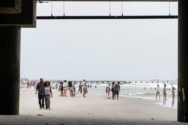
No tropical storms. No rip currents, and the water is warm. No rain, and not even many clouds from Cape May Point to Quakertown.
Could this really be a Labor Day weekend?
“It should be a beautiful way to close out the summer season,” said Eric Hoeflich, a meteorologist with the National Weather Service in Mount Holly.
Highs are expected to be in the mid- to upper 70s Friday through Monday, maybe reaching 80 degrees on the mainland on Labor Day, with clouds scarce.
Late Thursday afternoon, surf temperatures were near 75 off Steel Pier in Atlantic City.
And with no hurricanes or tropical storms currently plunging the Atlantic Ocean, “I don’t see much in the way of rip currents,” Hoeflich said.
August has taken a dramatic turn toward the cooler
The warmth in the Jersey Shore surf continues a summer-long trend and the season may finish in the top six for average water temperatures in records dating to 1912, said Jim Eberwine, a retired National Weather Service marine specialist and Absecon’s emergency management chief.
But the readings on the land have taken a dramatic turn for the cooler.
After a blistering July and a six-day stretch of 90-plus temperatures in August, forecast highs for the next several days would be about average for the second and third weeks of September.
If the forecasts hold, officially this would be the coolest August in Philadelphia since at least since 2014.
With north winds importing chilly air, a similar pattern in January and February would have produced quite the cold spell, said Hoeflich.
The updated extended outlook posted Thursday by the Climate Prediction Center has the probabilities favoring below-normal temperatures through Sept. 11 for here and most of the eastern half of the nation.
The precipitation forecast for the next two weeks is basically a coin flip, the climate center says.
No rain is in the weather service forecast through next Thursday, and the dryness may be something to watch, said John Feerick, senior meteorologist with AccuWeather Inc.
The interagency U.S. Drought Monitor survey posted Thursday had Cape May County and western areas of Burlington, Camden, and Gloucester Counties in the “abnormally dry” zone.
So far this month, only 1.73 inches of rain has fallen, well less than half of normal.
But an unscientific survey has found that most people won’t mind if the deficit grows this weekend.
