STATEN ISLAND, N.Y. — Those with tentative outdoor plans in New York City this weekend may want to keep their eyes on the forecast, as potentially severe thunderstorms are expected to roll through the area on Saturday.
These storms may feature heavy downpours and damaging winds. Moreover, they could even produce an isolated tornado and hail, according to David Stark, a meteorologist with the National Weather Service.
As a cold front sweeps into the area, the threat of showers and thunderstorms will arrive sometime Saturday afternoon and persist into the evening hours.
Residents of the city may have noticed some more humid conditions on Friday following a streak of relatively comfortable days. That humidity is expected to increase on Saturday and — as noted by Stark — will serve as fuel to the threat of thunderstorms.
“It’s typical late summer weather,’’ Stark explained. ”If you have any outdoor plans, just something to keep in mind, keep an eye on the sky; Weather may change fairly rapidly as we get into the afternoon and there’s that chance of showers and thunderstorms.”
Stark told the Advance/SILive.com that these stormy conditions should be expected anywhere between noon and 8 p.m.
However, as clarified by Stark: “It’s not going to be rain and storms that whole time.” Rather, the greatest threat will be within a three to six-hour period, he said.
For Staten Island, that timeframe is about 2 p.m. to 6 p.m.
Although this is when residents should expect the brunt of the wet weather, Stark made it clear that rainfall could return later in the night in the form of showers and linger overnight into Sunday morning.
“It doesn’t appear to be a situation where it’s one storm here, one storm there,” added Stark. This looks like it may end up being more of a linear line of storms, and we may be dealing with intermittent showers that may become more widespread Saturday night, he said.
Overall, between the storms Saturday afternoon and the showers Sunday morning, the general rainfall forecast is about half-an-inch to an inch of rain. However, Stark noted that higher amounts locally could be detected within those areas subjected to heavier downpours.
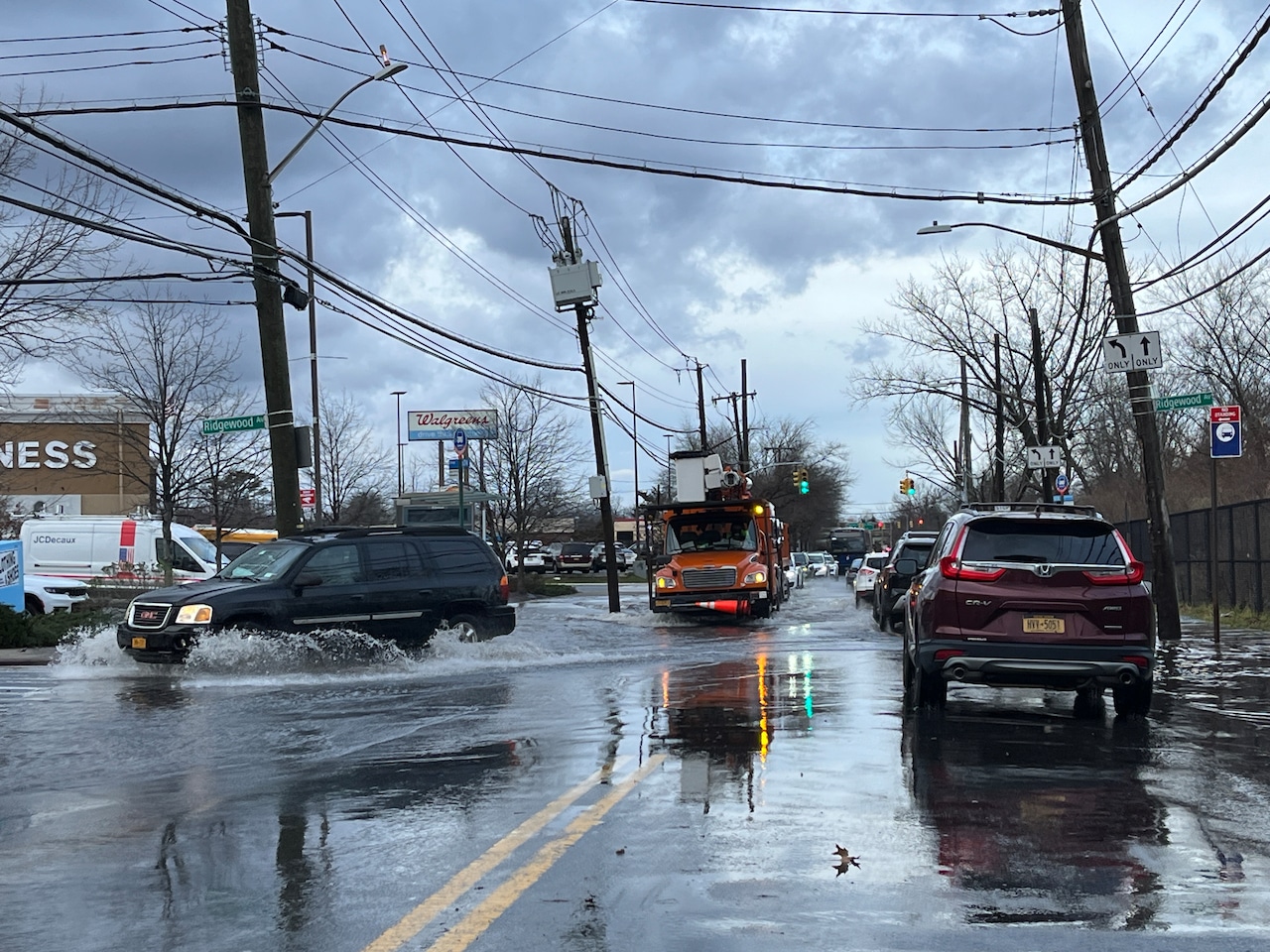
This potentially heavy rain could produce poor-drainage, flooding and may even result in localized flash flooding in some areas prone to taking on water, Stark said.
If you purchase a product or register for an account through a link on our site, we may receive compensation. By using this site, you consent to our User Agreement and agree that your clicks, interactions, and personal information may be collected, recorded, and/or stored by us and social media and other third-party partners in accordance with our Privacy Policy.