PHOENIX (AZFamily) — A weather pattern change is underway across Arizona. Look for the warmest days this week both today and tomorrow with afternoon highs in the Valley near 106 degrees. That’s about three degrees above normal for this time of year in Phoenix.
A trough of low pressure off the coast of the Pacific Northwest is helping to amplify a ridge of high pressure over the Southwest. Temperatures will remain fairly warm today and tomorrow across Arizona because of that.
By late Wednesday, the trough begins to move across the Great Basin, which will gradually lower temperatures for Arizona. Look for afternoon highs in the upper 90s in the Valley by Friday and Saturday. The trough will also drive breezy conditions in the Valley with windier conditions in the high country.
Look for winds of 10 to 15 mph in the Valley on Wednesday and Thursday. Winds of 15 to 25 mph can be expected in the mountains, with gusts closer to 40 mph.
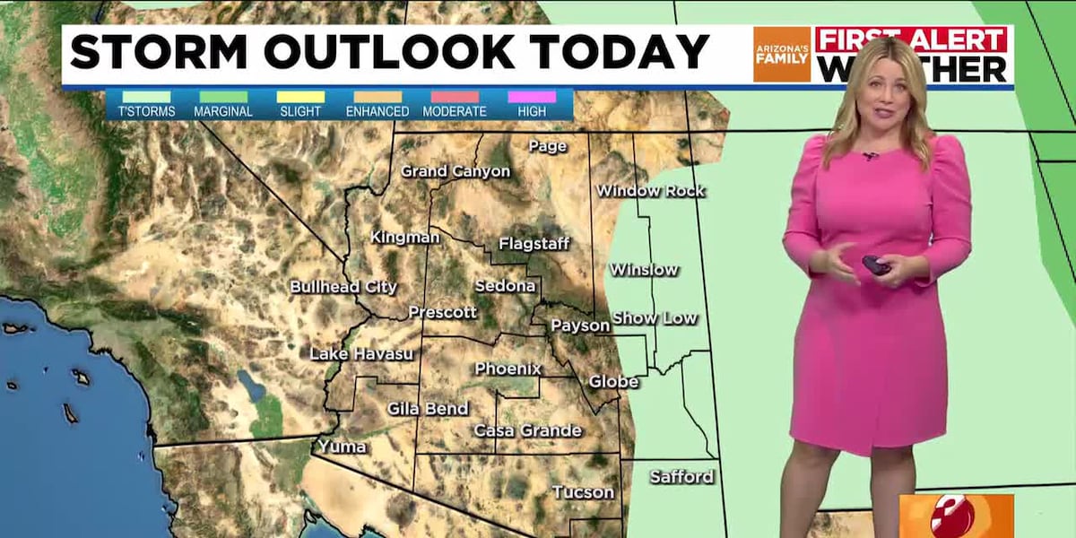
While no rain is likely in the Valley for at least the next seven days, Eastern Arizona could see some showers and thunderstorms this week. By Thursday, there’s a slight chance of storms in Northern Arizona as well. By the weekend, conditions look to be dry again statewide.
Look for an afternoon high of 98 degrees on Saturday and 100 degrees on Sunday with sunny skies expected both days. With drier air in place, nice mornings in the 70s can also be expected.
See a spelling or grammatical error in our story? Please click here to report it.
Do you have a photo or video of a breaking news story? Send it to us here with a brief description.
Copyright 2025 KTVK/KPHO. All rights reserved.