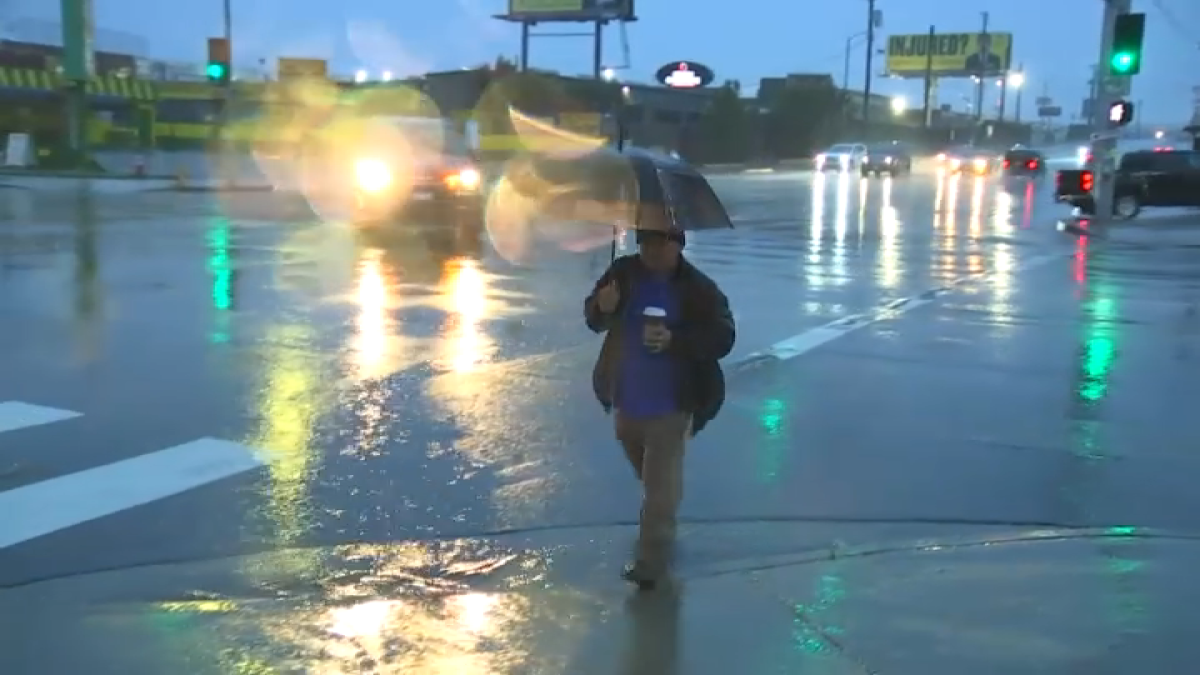
Several counties in the Chicago area are expected to see showers and storms late Friday night that are predicted to continue into Saturday afternoon, the National Weather Service said.
Showers and storms are expected to move across the northeast Illinois, north central Illinois and northwest Indiana starting late Friday, NWS said, including Lake, McHenry, DeKalb, LaSalle, Kendall, Grundy, Kankakee and Cook Counties in Illinois and Lake, Jasper, Newton and Porter Counties in Indiana.
There is a limited thunderstorm risk expected after midnight Saturday, with storms and showers continuing into the early afternoon.
NWS is also warning of possible heavy rain late Saturday across portions of northeast Illinois and northwest Indiana.
A few storms may produce locally damaging winds, hail and flash flooding, NWS said, though widespread severe weather is not expected.
“There is uncertainty in the timing and coverage of thunderstorms and favored location for the heaviest rain,” NWS said, adding that most activity will be during the morning and early afternoon.
Confidence is growing in a push of showers and storms tomorrow, some of which could produce heavy rainfall and possibly lead to localized flooding. However, the exact timing and coverage of activity are not yet clear. Conditions will then be warm and quiet for Sunday. #ILwx #INwx pic.twitter.com/LELqUvTk8h
— NWS Chicago (@NWSChicago) September 12, 2025
“Any storms that develop will be capable of heavy rainfall which could lead to localized flooding, especially in urban areas,” according to NWS.
Storms will move southeast through the area at 35 miles per hour, NWS said.