Say goodbye to summer! Fall officially begins at 2:19PM this afternoon and it’s looking like a rather unsettled start to the season.
Scattered showers and evening thunderstorms are possible today as multiple rounds of precipitation are expected this week.
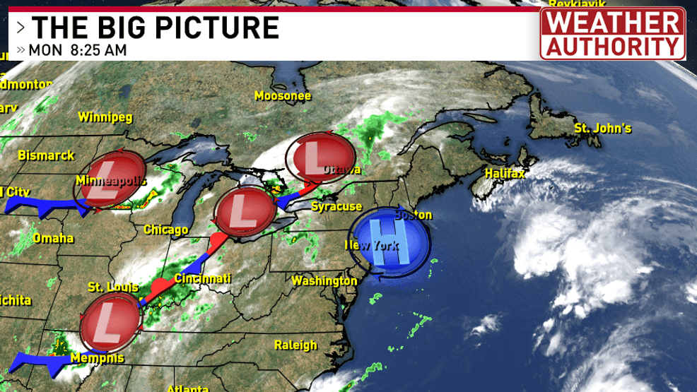
A large upper-level trough has developed which could bring rain showers to Syracuse every day this week! Which is quite the pattern shift after a very dry last couple of weeks.
Here’s a quick estimation on how much rain we could see between now and Tuesday night. The heavier showers and thunderstorms may be able to produce over an inch of rain, which is quite the downpour! Thankfully the threat of severe weather over the next few days is low.
Temperatures remaining mild with highs in the 70s with these daily rain chances lasting through the start of the weekend.
For the latest forecast updates and to track the storms on live local radar click HERE.