![]()
How a La Niña winter compares to El Niño
The La Niña climate pattern is one of the main drivers of weather in the U.S. and the world, especially in late fall, winter and early spring.
STAFF VIDEO, USA TODAY
- Forecasters predict a warmer-than-normal fall for New York, but a developing La Niña could bring a colder, stormier winter.
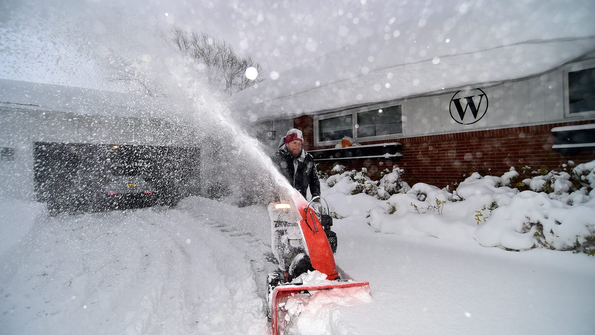
- La Niña conditions, expected by December, historically bring colder temperatures and above-average snowfall to the Northeast.
- Upstate New York could see enhanced lake-effect snow, while New York City may experience more rain from coastal storms.
- La Niña is a climate pattern characterized by cooler-than-normal ocean temperatures in the Pacific, which can alter global weather.
The Climate Prediction Center is calling for a warmer-than-normal, more mild fall across New York, but the return of La Niña could complicate the outlook for winter.
La Niña winters often bring more frequent swings in the jet stream, opening the door for bursts of colder air and stormier periods that might not be reflected in the broad seasonal outlook.
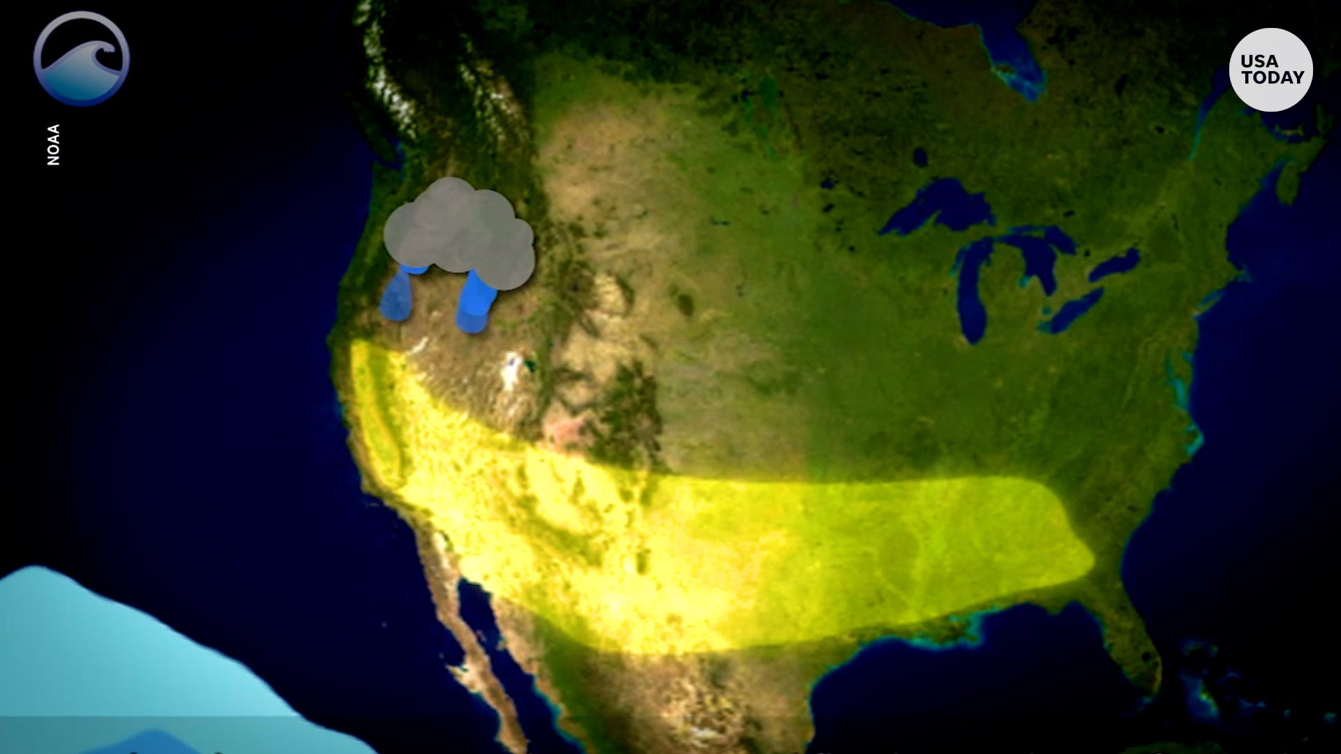
Forecasters expect a transition from standard ocean temperatures to La Niña, with a 71% chance by December, according to the National Oceanic and Atmospheric Administration.
How does La Niña influence New York winters?
La Niña tends to shift the jet stream northward. For the Northeast, this historically means colder-than-average temperatures and above-average snowfall. It also increases the likelihood of polar air intrusions — when the polar vortex, a ring of strong winds that normally keeps Arctic air bottled up near the North Pole, weakens or wobbles, allowing frigid air to spill south into the United States, often bringing freezing temperatures and significant snowfall.
In upstate New York, La Niña winters often are influenced by strong westerly to northwesterly winds over the Great Lakes, which can enhance lake-effect snow for cities like Buffalo, Rochester and Syracuse. If the lakes remain unfrozen later into winter, snow events can be more intense and more frequent.
In November 2022, Buffalo’s record-setting lake-effect snowstorm occurred during a La Niña winter, fitting this classic pattern: cold northwesterly winds over Lake Erie dumped several feet of snow in just a few days.
In New York City and Long Island, La Niña does not usually produce more snow. Coastal storms, or nor’easters, can sometimes track farther north during La Niña, bringing more rain than snow. However, occasional cold snaps can line up with storms, so New York may still see notable snow — just less consistently than upstate.
What is La Niña?
La Niña — Spanish for “the girl” — happens when the surface waters of the central and eastern Pacific Ocean are colder than normal for several months in a row, according to the National Weather Service. It’s part of a natural climate pattern called the El Niño–Southern Oscillation, which flips back and forth every few years between La Niña (cooler waters) and El Niño (warmer waters).
These shifts in ocean temperatures may seem small, but they can nudge the jet stream and change weather patterns all over the world. While its counter part El Niño — “the boy” — often brings milder winters to the northern U.S., La Niña tends to set the stage for colder snaps and more volatile conditions there.
When ocean temperatures in the central and eastern Pacific are close to average — not unusually warm like El Niño or unusually cool like La Niña — scientists call it ENSO neutral. Neutral conditions mean the Pacific isn’t giving the atmosphere a strong push one way or the other, so seasonal weather patterns are more likely to be shaped by other factors, like the Arctic or Atlantic oceans.
What is lake-effect snow?
Lake-effect snow occurs when cold, dry Arctic air moves over a large, relatively warm lake, creating narrow bands of clouds. This phenomenon can produce snowfall that lasts anywhere from a few minutes to several days.
Wind direction is also crucial in determining which areas will receive lake-effect snow. Heavy snowfall may occur in one location while the sun shines just a mile or two away in either direction.
Stay informed. Get weather alerts via text
Brandi D. Addison covers weather across the United States as the Weather Connect Reporter for the USA TODAY Network. She can be reached at baddison@gannett.com.