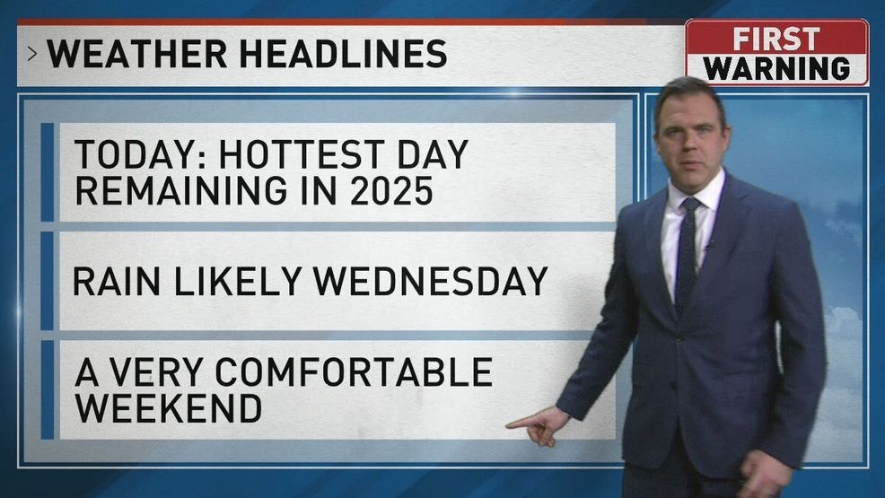
SAN ANTONIO – Hot today with temperatures into the upper 90s and triple digits heat indexes. A few isolated showers or thunderstorms are also possible in the coastal plains this afternoon and evening, though most locations will be dry.
A cold front will bring a chance of showers and thunderstorms to the area on Wednesday with a slight risk for isolated severe storms, mainly in the afternoon and evening.
CLICK HERE to track the storms with our interactive radar…
TODAY:
Partly Sunny, Very Hot
HIGHS: 95 – 99
WINDS: SE 7 – 14mph
Very mild start to the day, humid with patchy clouds. Turns partly sunny and very hot.
WEDNESDAY:
Partly Sunny, 50% PM Rain
HIGHS: 92 – 96
WINDS: SSE to N 7 – 14mph
Cold front or “less hot” front will arrive later in the afternoon. We’ll heat up into the 90s before it arrives. As front moves in, some showers or thunderstorms are likely in our region with a storm or two being strong with gusts, frequent lightning and maybe even hail. Most likely area to see a heavy storm will be in the southern half of our viewing area.
THURSDAY:
30% AM Rain, PM Partly Sunny
HIGHS: 86 – 90
WINDS: N 7 – 14mph
Morning cloudiness with leftover showers or thunder in the area then drier air moves in. Skies gradually turn partly sunny with a pleasant finish to the day as humidity lowers.
CLICK HERE to share your photos and video…