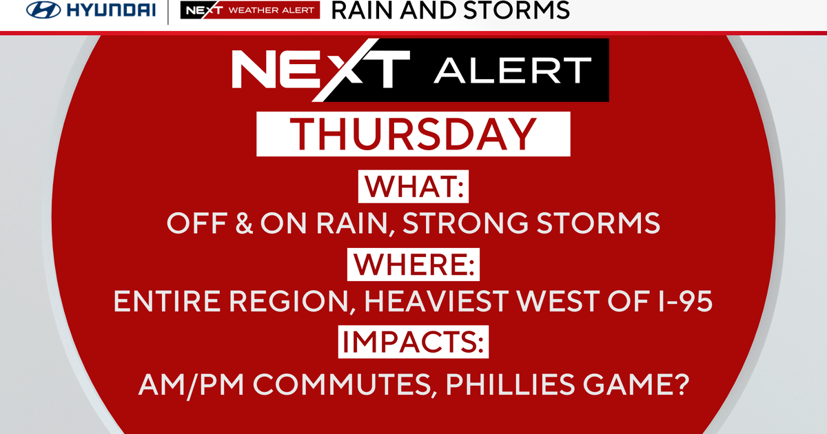
Thursday will likely be the wettest day in the Philadelphia region, with rounds of rain likely through the day. Rumbles of thunder are in the forecast, as well as the possibility of an isolated strong to severe storm.
The Storm Prediction Center has our area under a level 1 risk at this time for Thursday, with damaging wind gusts being the most likely possibility for severe weather.

CBS News Philadelphia
Friday, Saturday and beyond look to be trending generally dry, but a pop-up shower or two isn’t out of the question as humidity levels will remain high for this time of year, along with above-normal temperatures. We’ve increased the chance for showers on Sunday and Monday as some of the forecast models bring in some unsettled weather from the south, and the humidity will remain quite high for this time of year.

CBS News Philadelphia
As for the tropics, the newest named storm developed at 5 p.m. on Wednesday. Humberto is a weak tropical storm but could become a major hurricane by early next week.
The current forecasts have it as a Category 2, but that could easily strengthen into a much stronger storm. Models keep it from making landfall, but there is another area of interest that could potentially have some eastern seaboard impacts late next week or even early the week following. It just depends on whether or not it gets caught up in the upper-level flow, or if it cuts off and churns about well off the Carolina coasts.

CBS News Philadelphia
Your NEXT Weather Team will keep you posted.
Here’s your 7-day forecast:

CBS News Philadelphia
Thursday: NEXT Weather Alert for rain, storms. High 78, Low 71.
Friday: Lingering showers. High 83, Low 69.
Saturday: Sun, cloud mix. High 81, Low 65.
Sunday: Scattered showers. High 82, Low 65.
Monday: A few showers. High 82, Low 62.
Tuesday: Partly sunny. High 72, Low 59.
Wednesday: Partly sunny. High 75, Low 57.
More from CBS News
