A fast-moving cold front is bringing intense rain and thunderstorms to much of the mid-Atlantic and northeast, including New York City, where residents on Thursday continue to face risks of severe weather, possibly even an isolated tornado or two and potential flooding.
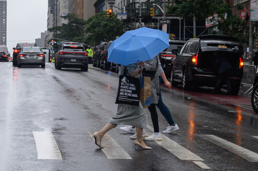
The morning started off swampy and wet in the city, with many New Yorkers waking up to heavy rain. The precipitation — and humidity — continued on and off into the afternoon, but New York City Emergency Management warned the heaviest rainfall is expected to occur in the evening hours. It will come with “patchy fog” and “bring frequent lightning” as well as “gusts up to 25 mph.”
“Expect 1–2″ inches of rain widespread, with localized higher totals possible,” the agency said in a post on X. “Downpours could bring nuisance flooding on roadways and in poor drainage areas, especially during rush hours.”
According to the National Weather Service in New York, there’s an estimated 2 to 4% risk of a tornado for much of the state, except parts of Long Island. The National Oceanic and Atmospheric Administration’s Storm Prediction Center put the city and much of the tri-state area at a Level 1 out of 5 threat on its severe thunderstorm risk scale, meaning “isolated severe thunderstorms possible” as are tornadoes.
The rainfall is expected to taper off overnight, as the cold front moves away from the East Coast, though scattered showers could persist into Friday, when it is expected to be slightly warmer than it has been in the last few days. According to meteorologists, temperatures will climb to the low 80s, with lows forecast to hover in the mid 60s.
Saturday should be nicer, with highs expected to hover around the 70s, and Sunday is slated to be even cooler, with a chance for rain throughout the day.