
Forecasters Sunday predicted a brief but substantial storm would bring heavy rain, thunderstorms and possible flooding to Southern California this week.
The rain could begin as early as late Monday night and is expected to produce between three-quarters of an inch to 1.5 inches of precipitation across most areas, according to the National Weather Service.
Hail and gusty winds are threats, with waterspouts or a weak tornado possible, the agency added.
“A low-pressure system moving southward along the West Coast will bring stronger onshore winds Monday into Tuesday night, along with showers from the coast to the mountains Monday night into Tuesday night,” the NWS reported.
A flood watch was issued for Monday through Tuesday evening in recent burn areas in Los Angeles, Ventura, Santa Barbara and San Luis Obispo counties.
The system is also expected to bring gusty south-to-southwest winds Monday night and Tuesday across Los Angeles County mountains and the Antelope Valley foothills.
Temperatures will drop dramatically Tuesday, with highs staying in the low 60s in most parts of L.A. and Orange counties. By Wednesday night, the rain will have moved on and temperatures will begin warming up again throughout the county after that.
“For next weekend, the warming continues inland while marine layer clouds and fog return to the coastal areas,” the NWS predicted.
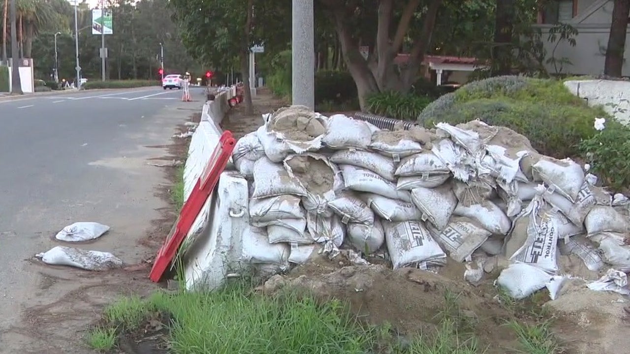
Officials in Pasadena encouraged community members to prepare for possible flooding. A deluge could be particularly problematic in the burn scar of the Eaton Fire, which originated in Altadena as a result of the January fire.
K-rails, or temporary barriers, have been installed by the city of Pasadena to protect at-risk areas from mud and debris flows. Residents were also encouraged to join NotifyLA, an alert system at emergency.lacity.gov.
Severe WeatherCaliforniaLos Angeles CountyVentura County