The Southland could be in for a “significant” soaking of rain over the next few days, beginning Thursday night, prompting warnings for residents near recent burn areas to be prepared to evacuate due to the risk of flooding or debris flows.
“There remains a lot of uncertainty with how this will play out because the low is expected to cut off and once that happens the predictability of the storm decreases dramatically,” according to the National Weather Service. “Based on the model projections today (Wednesday), the upper low is expected to move into a position that will generate widespread 2-4 inches of rain, starting Thursday afternoon along the Central Coast, then Friday and Saturday elsewhere, highest south of Point Conception and especially in upslope areas. Could even see some amounts in the 5-6 inch range in the foothills and mountains.
“Hourly rates of a half-inch would be common in this scenario with isolated rates up to an inch. Thunderstorms are possible as well, best chances from Santa Barbara north but can’t rule out a storm or two down south as well.
Success! An email has been sent to with a link to confirm list signup.
Error! There was an error processing your request.
“With this in mind, residents, especially those in vulnerable areas, should start taking precautions immediately to prepare for the storm and protect their interests. This scenario would potentially create many significant impacts area-wide, including possible debris flows in the burn areas, significant ponding of roads and highways, mudslides through the canyons, fallen trees, etc.”
The city of Los Angeles issued an evacuation warning that’ll be in effect from 6 p.m. Thursday through 11 a.m. Sunday for residents near the Palisades, Hurst and Sunset fire burn zones. Los Angeles Police Department officers were expected to go door-to-door in particularly high-risk neighborhoods to contact residents.
County officials, meanwhile, issued an evacuation warning for residents near the Eaton Fire area in Altadena. County officials warned that any other recent burn area could also be at increased risk of flooding or debris flows.
In the Palisades Fire area, Caltrans will close Topanga Canyon Boulevard between Pacific Coast Highway and Grand View Drive at 10 p.m. Thursday. Caltrans officials said motorists should expect the stretch to remain closed at least through the Friday morning commute, but potentially through the weekend, depending how the storm develops.
That stretch of Topanga Canyon has been undergoing nightly repairs, with the road closed between midnight and 5 a.m.
NWS forecasters urged homeowners to prepare for the rain by ensuring gutters are cleared and windshield wipers are secure and working. They said people should consider rescheduling outdoor events, and advised motorists to avoid driving through flooded areas.
Success! An email has been sent to with a link to confirm list signup.
Error! There was an error processing your request.
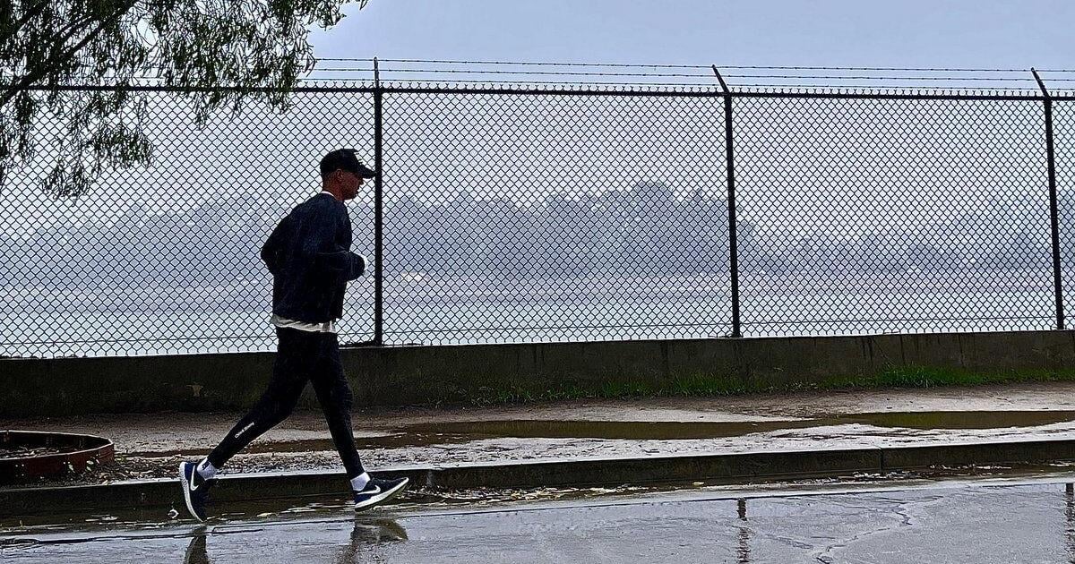
The region began experiencing a change in the weather Wednesday, with increasing clouds leading to cooler temperatures, which topped out in the 60s and 70s.
The Los Angeles County Sheriff’s Department issued a statement Wednesday urging people to be prepared, offering a series of tips:
— Drive carefully, slow down and allow extra stopping distance;
— avoid flooded roads, turn around, wait it out;
— prepare your property by gathering sand bags, and checking gutters and drains; and
— check the condition of your vehicle and replace windshield wipers and tires if needed.
Sheriff’s officials urged people to use websites like http://Ready.Lacounty.gov to stay up to date on road closures, weather alerts, and emergency notifications.
“Our deputies will be out monitoring conditions and ensuring community safety,” according to the department. “Let’s all do our part to stay safe during the storm.”
370 Monthly Reader Sponsors and Counting!
Join the more than 300 readers who make monthly contributions to The Eastsider..
Even a small monthly contribution will create a more stable source of revenue, giving us confidence to expand staff and provide you with more of the community news you can’t find anywhere else.
—Jesús Sanchez, Publisher