
![]()
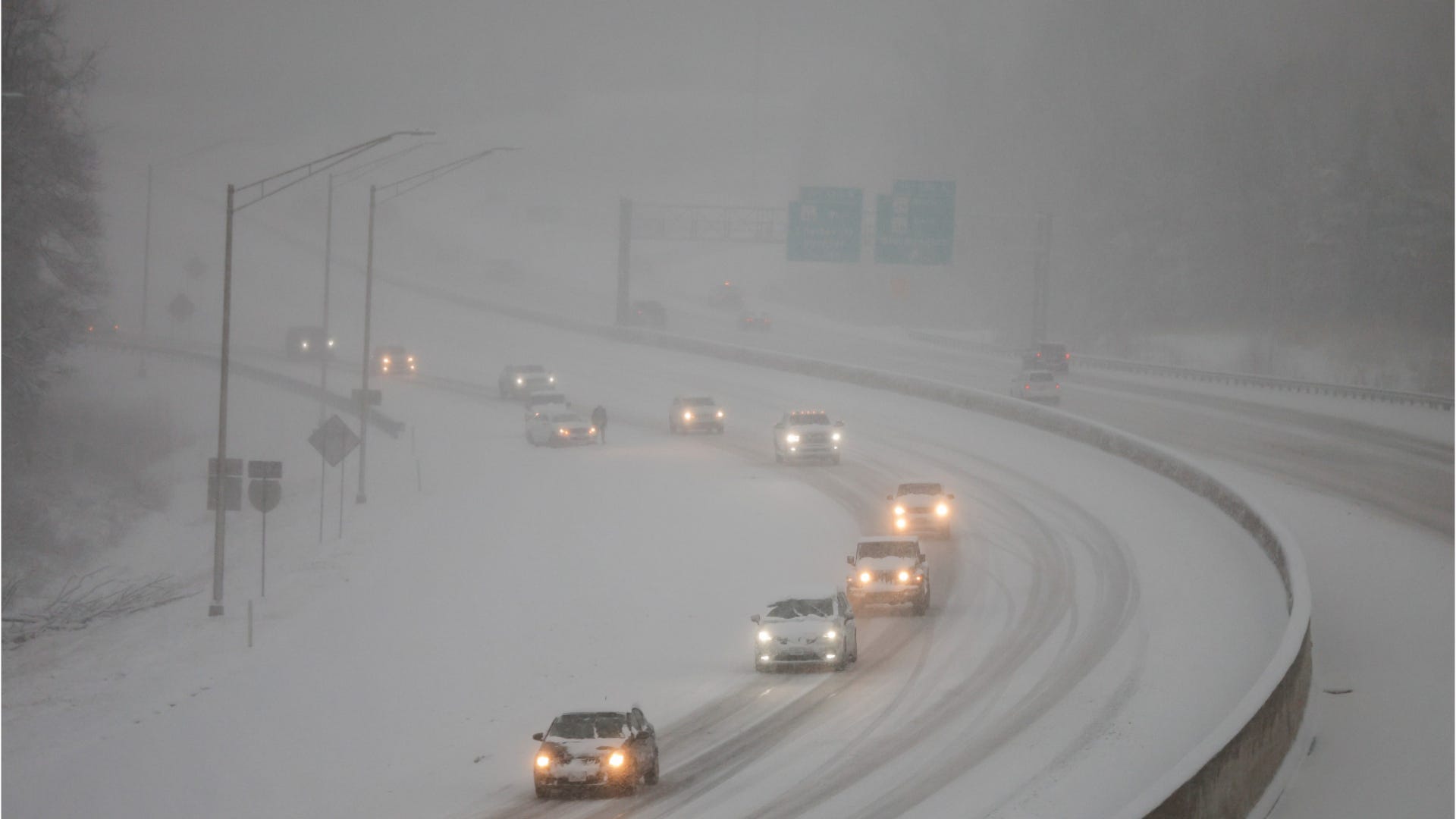
How drivers can prepare for bad winter weather
This video offers tips from the Indianapolis Department of Transportation to help drivers navigate bad winter weather conditions.
Hoosiers should brace for a dramatic cool down by the end of November as signs suggest much colder weather could be on the way.
There’s a chance that a “sudden stratospheric warming” event may occur, which would weaken a low-pressure area in the Arctic known as a polar vortex, said Cody Moore, a meteorologist with the National Weather Service in Indianapolis. That could push cold air south and set Hoosiers’ teeth chattering.
“You hear big words like polar vortex, and it sounds like something crazy but it’s really not, we’re just using super scientific terms explains what normally goes on,” Moore said.
While the events leading up to the cold snap might be normal, the timing and severity of the snap could be a bit abnormal. Typically such cold snaps fall later in the winter for Indiana and temperatures tend not to dip quite as low in late November, Moore said.
Longer term predictions for Indiana’s winter suggest the area may see a little more precipitation than an average year thanks to a weak La Niña, a phenomenon in the Pacific Ocean that affects weather in the United States. Still, that could change by the time spring arrives.
The NWS’s Climate Prediction Center issued a news release Nov. 13 saying that while La Niña is predicted to continue through January, the event is expected to remain weak and could end sooner than predicted.
La Niña comes to Indiana
Casey Crosbie, a meteorologist with NWS Indianapolis, said these are all just probabilities, and nothing is absolute. A La Niña event essentially means that we could see certain weather patterns, such as increased precipitation.
These patterns could wind up benefitting Indiana since the state is in a drought, Crosbie said.
What is La Niña?
La Niña begins at the central Pacific Ocean’s surface. When the ocean’s temperatures cool (which usually happens every three to five years) that affects tropical rainfall, which in turn affects weather patterns around the world, according to the NWS.
What tends to happen then, Crosbie explained, is that the wave-like jet stream above North America shifts farther north into parts of western Canada. This causes the downstream storm track to curve down into the Great Lakes region.
How does La Niña affect Indiana?
As the storm track drops down to Indiana, precipitation and snowfall rates can increase.
Climatology records looking back at Indiana’s weather show that during a La Niña event, Indiana typically sees wetter winters, Crosbie said, but it’s tougher to predict the impact for temperatures.
Right now, the NWS is predicting “equal chances” of average temperature outlooks for winter. This means that over the three-month winter period, Indiana could see some cold snaps along with potential warming, a combination that means the ’25-26 winter temperatures will average out.
Indianapolis’ current forecast
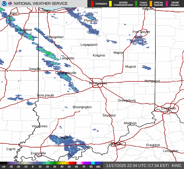
As the weak La Niña sets Hoosiers up for a wet winter, the end of November will also see some rain.
The NWS is predicting rain for the week of Nov. 17 with high temperatures barely reaching 60 by Thursday.
The greatest chance of rain for Central Indiana will come by the end of the week.
IndyStar’s environmental reporting project is made possible through the generous support of the nonprofit Nina Mason Pulliam Charitable Trust.
Karl Schneider is an IndyStar environment reporter. You can reach him at karl.schneider@indystar.com. Follow him on BlueSky @karlstartswithk.bsky.social or X @karlstartswithk.